Tokushima
| Tokushima 徳島市 | |||||
|---|---|---|---|---|---|
| |||||
 | |||||
| Overblik | |||||
| Land | |||||
| Borgmester | Sawako Naitō | ||||
| Ø | Shikoku | ||||
| Region | Shikoku | ||||
| Præfektur | Tokushima | ||||
| Grundlagt | 1. oktober 1889 | ||||
| Postnr. | 770-8571 | ||||
| Telefonkode | 88 | ||||
| UN/LOCODE | JPTKS | ||||
| Demografi | |||||
| Indbyggere | 254.510 (2020)[1] | ||||
| - Areal | 191 km² | ||||
| - Befolkningstæthed | 1.330 pr. km² | ||||
| Andet | |||||
| Tidszone | UTC+9 | ||||
| Hjemmeside | www.city.tokushima.tokushima.jp | ||||
| Oversigtskort | |||||
Tokushima (徳島市 Tokushima-shi) er en by i Japan.
Tokushima ligger i Regionen Shikoku på den østligste del af øen Shikoku ved udmundingen af floden Yoshino. Byen har 254.510(2020)[1] indbyggere og er hovedby i præfekturet Tokushima.
Referencer
- ^ a b 徳島県の人口(徳島県推計人口)|徳島県の統計情報, hentet 2. november 2020 (fra Wikidata).
Eksterne henvisninger
| Spire |
|
Medier brugt på denne side
Forfatter/Opretter: 663highland, Licens: CC BY 2.5
Cityscape of Tokushima seen from Bizan in Tokushima Prefecture, Japan
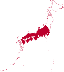
Flag-map of Japan
Forfatter/Opretter: Maximilian Dörrbecker (Chumwa), Licens: CC BY-SA 3.0
Location map of Japan
Equirectangular projection.
Geographic limits to locate objects in the main map with the main islands:
- N: 45°51'37" N (45.86°N)
- S: 30°01'13" N (30.02°N)
- W: 128°14'24" E (128.24°E)
- E: 149°16'13" E (149.27°E)
Geographic limits to locate objects in the side map with the Ryukyu Islands:
- N: 39°32'25" N (39.54°N)
- S: 23°42'36" N (23.71°N)
- W: 110°25'49" E (110.43°E)
- E: 131°26'25" E (131.44°E)
Emblem of Tokushima, Tokushima
Flag of Tokushima, Tokushima


