Tartus
| Tartus طرطوس | |||||||
|---|---|---|---|---|---|---|---|
| |||||||
Collage af billeder fra Tartus | |||||||
| Overblik | |||||||
| Land | |||||||
| Telefonkode | 43 | ||||||
| UN/LOCODE | SYTTS | ||||||
| Andet | |||||||
| Højde m.o.h. | 0 m | ||||||
| Hjemmeside | www.tartous.gov.sy | ||||||
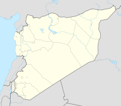
| Oversigtskort | |||||||
(c) Karte: NordNordWest, Lizenz: Creative Commons by-sa-3.0 de Tartus | |||||||

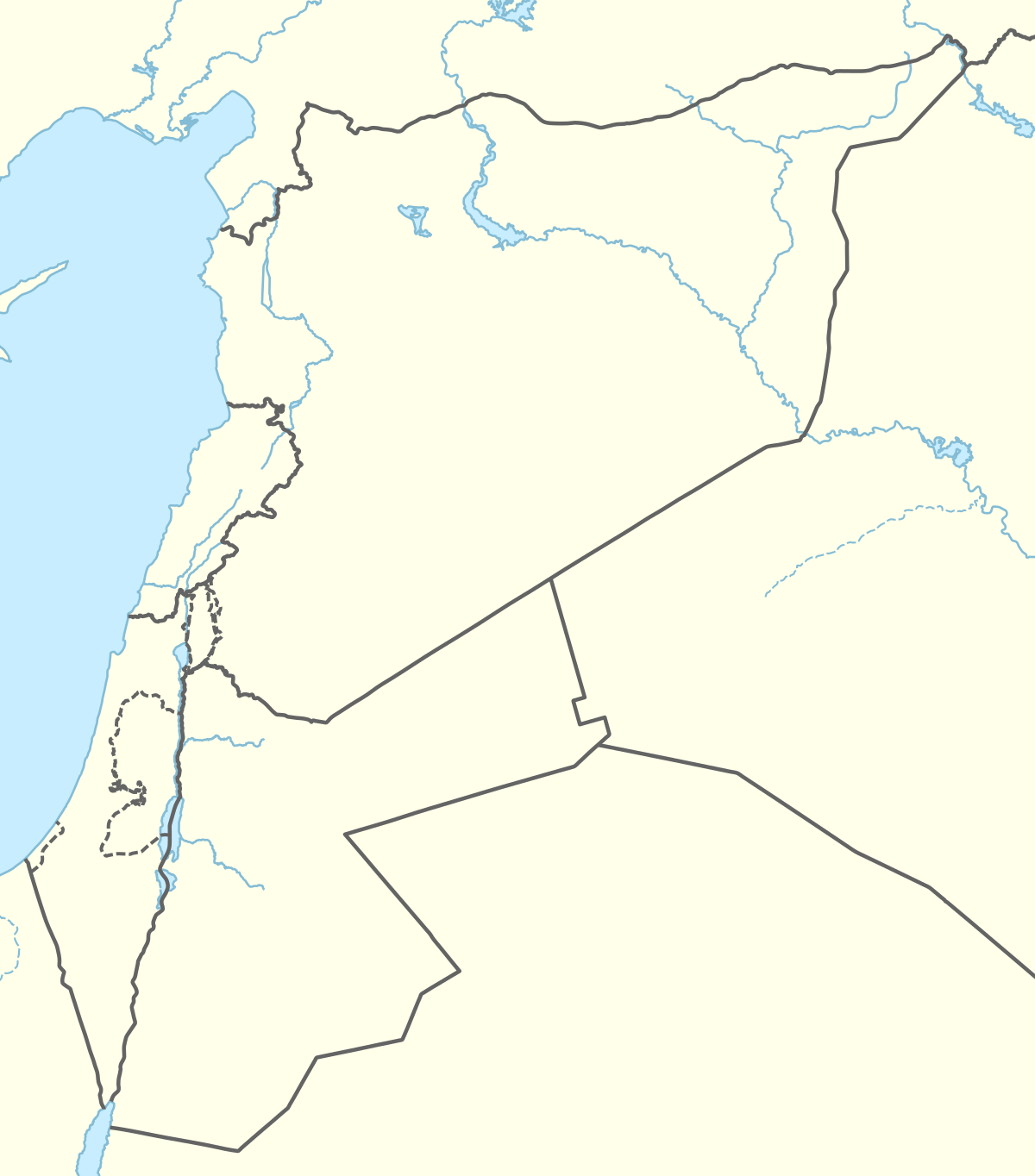
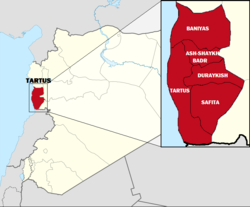
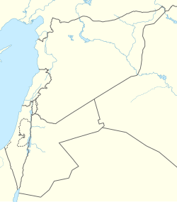
Tartus er en by på Syriens kyst ud til Middelhavet. Den er hovedby i et guvernement med samme navn[1] og er sammen med den nordligere beliggende by Latakia en af Syriens vigtige havnebyer med fiskerihavn og i en periode en russisk flådebase.[2][3]
Circa tre kilometer ud for Tartus ligger øen Arwad (en) (Aradus, Ruad[4]) I middelalderen byggede korsfarerne en borg på øen som nu kaldes Ruad.[5]
Efter Assad-regimets fald december 2024 forlod den russiske flåde havnen i Tartus, og israelerne bombede området.[6][7]
|
|
Referencer
- ^ Afsnittet "Tartous Governorate Profile" hos Reliefweb.int. OCHA. "United Nations Office for the Coordination of Humanitarian Affair"
- ^ Tartus i Den Store Danske på Lex.dk af Kirstine Sinclair og 'Mellemøst-Information'
- ^ 'After Assad’s fall, Russia pulling some, but not all, of its forces out of Syria' hos Timesofisrael.com : "... The ousting of Assad, who along with his late father, former President Hafez al-Assad, had forged a close alliance with Moscow, has thrown the future of Russia’s bases — the Hmeimim airbase in Latakia and the Tartus naval facility — into question. ..." (Af Tuvan Gumrukcu, Suleiman Al-Khalidi og Guy Faulconbridge, 14. december 2024)
- ^ a b Aradus i Den Store Danske på Lex.dk : "Aradus, fønikisk Arwad, nuværende Ruad, er en ø og by 3 km fra Tartus på den syriske kyst. ..."
- ^ "Tempelridderne" hos History-maps.com : "Tempelridderne oprettede en permanent garnison på øen Ruad i 1300, men mamlukkerne belejrede og erobrede Ruad i 1302. Med tabet af øen mistede korsfarerne deres sidste fodfæste i Det Hellige Land. ..."
- ^ "Heavy Israeli airstrikes reported on Syrian military sites in coastal Tartus region" hos Timesofisrael.com af ToI Staff, 16. december 2024
- ^ "Israel’s ‘Earthquake Bomb’ Strikes Syrian Coast, Massive Blasts Register on Richter Scale Amid Tartus Missile Depot Attack" hos Btimesonline.com, 16. december 2024 : "Israel launched one of its most intense military campaigns in Syria in over a decade, targeting air defense systems, missile depots, and other strategic sites in the coastal Tartus region. ..."
Eksterne henvisninger
- Tartus i Den Store Danske på Lex.dk af Kirstine Sinclair og 'Mellemøst-Information'
- Tartus marinebase i Store norske leksikon hos Snl.no af Dag Leraand
- Tartus hos Britannica.com
| Spire |
Medier brugt på denne side
Wellenlinie als Gewässersymbol für die Formatvorlage Autobahn
A 1×1 transparent image. Useful for when a template requires an image but you don't have one.
a map symbol for a mountain, the center is in the middle of the base line - as opposed to Fire.svg
Shiny green button/marker widget.
Forfatter/Opretter: Rawpixel, Licens: CC BY-SA 4.0
Castle in the Island of Tortosa from Views in the Ottoman Dominions, in Europe, in Asia, and some of the Mediterranean islands, illustrated by Luigi Mayer (1755-1803).
(c) Karte: NordNordWest, Lizenz: Creative Commons by-sa-3.0 de
Location map of Syria. De facto situation.
Photo of Tartus city and port, NASA 2007:05:04 07:05:58
Globally-used UNESCO World Heritage logo
Shiny black button/marker widget.
Forfatter/Opretter: Dosseman, Licens: CC BY-SA 4.0
One of some pictures at the sea front, I did not precisely locate the keep. The fortress, also called a citadel, originally did not have the current boulevard but directly laid at the sea, where it has a keep. To north, east and south strong walls protected it. It now shows a mix of the old remains and later houses. Some pictures can be located due to GPS.
Forfatter/Opretter: Edgars2007, Licens: CC BY 2.0
Archaeological site icon
a simple (unofficial) dam symbol.
Forfatter/Opretter:

Tartus Governorate on Syria Map with its subdistricts.
Forfatter/Opretter: Taras Kalapun: https://www.flickr.com/photos/xslim/, Licens: CC BY 2.0
Boats at Tartus boats harbor
Forfatter/Opretter: Mikenorton, Licens: CC BY-SA 3.0
Bull's eye graphic for use with earthquake location maps
Flag of Syria. Originally flag of the Syria Revolution (from 2011), de facto flag of Syria beginning December 2024, official beginning March 2025.
Flag of Syria (2024-present) and the Syria Revolution
(c) Karte: NordNordWest, Lizenz: Creative Commons by-sa-3.0 de
Location map of the Levant
NASA FIRMS imagery 2024-10-20 of Tartus naval facility. NB. The terrain imagery is older and undated

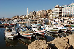




![Tartus by og havn, Nasa 2007 (I højre side øen Ruad / Arwad / Aradus[4])](http://upload.wikimedia.org/wikipedia/commons/thumb/3/38/Tartus_photo_from_NASA.jpg/960px-Tartus_photo_from_NASA.jpg)


