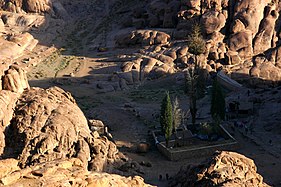
Sinaibjerget

For det Bibelske Sinaibjerg, se Sinaibjerget (biblen)
| Sinaibjerget (Ṭūr Sīnāʼ) | |
|---|---|
 Toppen af Sinaibjerget | |
| Højeste punkt | |
| Højde | 2.285 meter |
| Koordinater | 28°32′23″N 33°58′24″Ø / 28.53972°N 33.97333°Ø |
| Geografi | |
| Land | |
| Område | Sinai-halvøen |
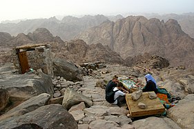
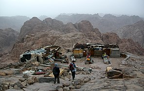
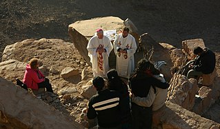
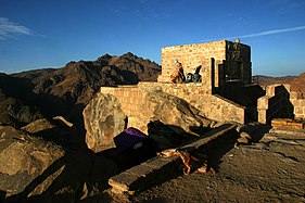
Sinaibjerget (arabisk: طور سيناء, جبل موسى eller hebraisk: הר סיני) også kaldet Horeb, er et bjerg på Sinaihalvøen i Ægypten, der traditionelt anses for at være identisk med det bibelske Sinaibjerg.
Geografi
Sinaibjerget er et 2.285 meter højt bjerg tæt på Sankt Katharina by på Sinaihalvøen. Bjerget ligger tæt ved Sankt Katharina-bjerget, der med sine 2.629 meter er det højeste punkt i Ægypten.[1]
Billedgalleri
|
Referencer
- ^ "Sinai Geology". AllSinai.info. Arkiveret fra originalen 18. juli 2011. Hentet 23. marts 2013.
| Spire |
Medier brugt på denne side
Forfatter/Opretter: Eric Gaba (Sting - fr:Sting) and NordNordWest, Licens: CC BY-SA 3.0
Physical location map of Egypt.
- Showing new governorate boundaries since 14 April 2011, after the dissolution of the 6th of October and Helwan Governorates.
- Also showing the Libyan Desert and its northern Qattara Depression, and the northern Eastern Desert.
Forfatter/Opretter: Gerd Eichmann, Licens: CC BY-SA 4.0
Mount Sinai
Forfatter/Opretter: Gerd Eichmann, Licens: CC BY-SA 4.0
Mount Sinai
Forfatter/Opretter: Gerd Eichmann, Licens: CC BY-SA 4.0
Mount Sinai
Forfatter/Opretter: Gerd Eichmann, Licens: CC BY-SA 4.0
Mount Sinai
Forfatter/Opretter: Gerd Eichmann, Licens: CC BY-SA 4.0
Mount Sinai
Góra Synaj
Forfatter/Opretter: Mohammed Moussa, Licens: CC BY-SA 3.0
Mount Sinai (Arabic: طور سيناء Ṭūr Sīnāʼ or جبل موسى Jabal Mūsá ; Egyptian Arabic: Gabal Mūsa, lit. "Moses' Mountain" or "Mount Moses"; Hebrew: הר סיני Har Sinai ), also known as Mount Horeb, is a mountain in the Sinai Peninsula of Egypt that is the traditional and most accepted identification of the biblical Mount Sinai. The latter is mentioned many times in the Book of Exodus in the Torah, the Bible,[1] and the Quran.[2] According to Jewish, Christian and Islamic tradition, the biblical Mount Sinai was the place where Moses received the Ten Commandments.
Forfatter/Opretter: Gerd Eichmann, Licens: CC BY-SA 4.0
Mount Sinai
a map symbol for a mountain, the center is in the middle of the base line - as opposed to Fire.svg
Forfatter/Opretter: Gerd Eichmann, Licens: CC BY-SA 4.0
Mount Sinai


