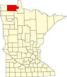
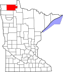
Roseau County
Roseau County er et county i den nordvestlige del af den amerikanske delstat Minnesota med grænser til Lake of the Woods County i øst, Beltrami County i sydøst, Marshall County i syd og mod Kittson County i vest. Mod nord er der grænse til Canada.
Roseau Countys totale areal er 4.306 km², hvoraf 41 km² er vand. I 2000 havde Roseau County 16.338 indbyggere. Administrativt centrum ligger i byen Roseau.
Roseau County har fået sit navn efter floden Roseau River og søen Roseau Lake.
Koordinater: 48°46′N 95°48′V / 48.77°N 95.8°V
|
Medier brugt på denne side
The flag of Minnesota, since May 11, 2024.
This is a locator map showing Roseau County in Minnesota. For more information, see Commons:United States county locator maps.


