Port Louis
| Port Louis | |||||
|---|---|---|---|---|---|
| |||||
 | |||||
| Overblik | |||||
| Land | |||||
| Grundlagt | 1735 | ||||
| Demografi | |||||
| Indbyggere | 149.194 (2012)[1] | ||||
| - Areal | 46,7 km² | ||||
| - Befolkningstæthed | 3.195 pr. km² | ||||
| Andet | |||||
| Højde m.o.h. | 134 m | ||||
| Hjemmeside | www.mccpl.mu | ||||
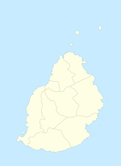
| Oversigtskort | |||||
Port Louis | |||||
Port Louis er Mauritius' hovedstad. Byen har 149.194(2012)[1] indbyggere og er dermed landets største. Det er en havneby, der ligger ud til det Indiske Ocean. Byen blev grundlagt i 1735 af franskmændene.
Referencer
- ^ a b Annual Digest of Statistics 2015, Mauritius' regering (fra Wikidata).
|
| Spire |
Medier brugt på denne side
Forfatter/Opretter: Yashveer Poonit, Licens: CC BY-SA 3.0
Flag of Port Louis, Mauritius
Forfatter/Opretter: Thierry, Licens: CC-BY-SA-3.0
View of Port Louis and harbour looking west from the Citadel.
Forfatter/Opretter: Peter Kuchar (pkuchar), Licens: CC BY-SA 3.0
Port Louis, the capital city of Mauritius, is winding down in the evening. People are going for after work drinks or going home for a well deserved break. This image was taken from Mount Signal, to the south of the city. In this image you can see among other things financial district, Caudan waterfront, and the large square unmistakable police compound. In the distance, the northern shores of the island are visible with a shape of Point aux Cannonier barely discernible.
(c) Uwe Dedering at tysk Wikipedia, CC BY-SA 3.0
Location map of Mauritius
Equirectangular projection. Stretched by 106.0%. Geographic limits of the map:
- N: -19.7° N
- S: -20.6° N
- W: 57.21° E
- E: 57.91° E
Forfatter/Opretter: Yashveer Poonit, Licens: CC BY-SA 3.0
Coat of arms of Port Louis


