Midwayøerne

28°13′N 177°22′V / 28.217°N 177.367°V

Midwayøerne er to amerikanske øer i øgruppen Hawaii i Stillehavet, som hovedsageligt er kendt fordi der i havet omkring øerne i juni 1942 blev udkæmpet et af de vigtigste søslag i 2. verdenskrig, Slaget om Midway. Øerne blev opdaget i 1859 og indlemmet i USA i 1867.

| Spire |
Medier brugt på denne side
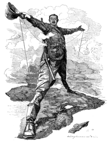
The Rhodes Colossus: Caricature of Cecil John Rhodes, after he announced plans for a telegraph line and railroad from Cape Town to Cairo.
Aerial photograph of Midway Atoll, looking just south of west across the southern side of the atoll, 24 November 1941. Eastern Island, then the site of Midway's airfield, is in the foreground. Sand Island, location of most other base facilities, is across the entrance channel.
Forfatter/Opretter:
- Midway_Islands-CIA_WFB_Map.png: CIA World Factbook, uploaded by Wolfman, updated by Augiasstallputzer~commonswiki
- Midway_Islands.svg: SVG version by User:Indolences
- derivative work: Gooney birds (talk)
Midway Atoll with Sand Island, Spit Island and Eastern Island. Abandoned runways of Henderson Field in gray.
Orthographic projection centred over Midway


