| Sagsnavn | Komplekstype | Opførelsesår | Adresse | Koordinater | Fredningsår
(1. fredning) | ID
(Link til Kulturarv.dk) | Billede |
|---|
| 2. Generalkommando | Kontorbygning/offentlig | 1913 | Sct. Mathias Gade 96B, 8800 Viborg | 56°26′59″N 9°24′47″Ø / 56.44962°N 9.41311°Ø / 56.44962; 9.41311 (2. Generalkommando) | | 791-68088-1 | 
|
| 2. Generalkommando | Kontorbygning/offentlig | 1913 | Sct. Mathias Gade 96B, 8800 Viborg | 56°26′59″N 9°24′47″Ø / 56.44962°N 9.41311°Ø / 56.44962; 9.41311 (2. Generalkommando) | | 791-68088-2 |
|
| Bispegården | Længehus | 1726 | Domkirkestræde 1A, 8800 Viborg | 56°27′01″N 9°24′49″Ø / 56.45020°N 9.41373°Ø / 56.45020; 9.41373 (Bispegården) | | 791-18900-2 |
|
| Bispegården | Længehus | 1726 | Domkirkestræde 1A, 8800 Viborg | 56°27′01″N 9°24′49″Ø / 56.45020°N 9.41373°Ø / 56.45020; 9.41373 (Bispegården) | | 791-18900-3 |
|
| Bispegården | | 1726 | Domkirkestræde 1, 8800 Viborg | 56°27′01″N 9°24′49″Ø / 56.45041°N 9.41357°Ø / 56.45041; 9.41357 (Bispegården) | | 791-18900-1 |
|
| Bruunshaab gamle Papfabrik | Fabrik/museum | 1825 | Vinkelvej 93B, 8800 Viborg | 56°25′23″N 9°26′45″Ø / 56.42300°N 9.44582°Ø / 56.42300; 9.44582 (Bruunshaab gamle Papfabrik) | | 791-230915-1 |
|
| Bruunshaab gamle Papfabrik | | 1909 | Vinkelvej 93B, 8800 Viborg | 56°25′23″N 9°26′45″Ø / 56.42300°N 9.44582°Ø / 56.42300; 9.44582 (Bruunshaab gamle Papfabrik) | | 791-230915-2 |
|
| Bruunshaab gamle Papfabrik | | 1946 | Vinkelvej 93B, 8800 Viborg | 56°25′23″N 9°26′45″Ø / 56.42300°N 9.44582°Ø / 56.42300; 9.44582 (Bruunshaab gamle Papfabrik) | | 791-230915-3 |
|
| Bruunshaab gamle Papfabrik | | 1942 | Vinkelvej 93B, 8800 Viborg | 56°25′23″N 9°26′45″Ø / 56.42300°N 9.44582°Ø / 56.42300; 9.44582 (Bruunshaab gamle Papfabrik) | | 791-230915-4 |
|
| Bruunshaab gamle Papfabrik | | 1946 | Vinkelvej 93B, 8800 Viborg | 56°25′23″N 9°26′45″Ø / 56.42300°N 9.44582°Ø / 56.42300; 9.44582 (Bruunshaab gamle Papfabrik) | | 791-230915-5 |
|
| Bruunshaab gamle Papfabrik | | 1942 | Vinkelvej 93B, 8800 Viborg | 56°25′23″N 9°26′45″Ø / 56.42300°N 9.44582°Ø / 56.42300; 9.44582 (Bruunshaab gamle Papfabrik) | | 791-230915-7 |
|
| Bruunshaab gamle Papfabrik | Skorsten | 1909 | Vinkelvej 93B, 8800 Viborg | 56°25′23″N 9°26′45″Ø / 56.42300°N 9.44582°Ø / 56.42300; 9.44582 (Bruunshaab gamle Papfabrik) | | 791-230915--1 |
|
| Brænderigården, Sindsygehospital | Bygning til kontor/handel | 1840 | Riddergade 8, 8800 Viborg | 56°27′00″N 9°24′56″Ø / 56.44996°N 9.41549°Ø / 56.44996; 9.41549 (Brænderigården, Sindsygehospital) | | 791-178118-1 |
|
| Den gamle Hovedvagt | | 1877 | Ll. Sct. Hans Gade 20, 8800 Viborg | 56°27′08″N 9°24′31″Ø / 56.45233°N 9.40848°Ø / 56.45233; 9.40848 (Den gamle Hovedvagt) | | 791-38677-1 |
|
| Den gamle Latinskole | Sidefløj (nordfløj) | 1731 | Nytorvgyde 6, 8800 Viborg | 56°27′03″N 9°24′40″Ø / 56.45087°N 9.41100°Ø / 56.45087; 9.41100 (Den gamle Latinskole) | | 791-74762-3 |
|
| Den gamle Latinskole | Kommuenal administration | 1736 | Sct. Mogens Gade 1, 8800 Viborg | 56°27′03″N 9°24′40″Ø / 56.45074°N 9.41114°Ø / 56.45074; 9.41114 (Den gamle Latinskole) | | 791-74762-1 |
|
| Den gamle Latinskole | Sidefløj (sydfløj) | 1736 | Sct. Mogens Gade 1, 8800 Viborg | 56°27′03″N 9°24′40″Ø / 56.45074°N 9.41114°Ø / 56.45074; 9.41114 (Den gamle Latinskole) | | 791-74762-2 |
|
| Den gamle Latinskole | | 1731 | Sct. Mogens Gade 1, 8800 Viborg | 56°27′03″N 9°24′40″Ø / 56.45074°N 9.41114°Ø / 56.45074; 9.41114 (Den gamle Latinskole) | | 791-74762-21 |
|
| Det Zahrtmannske Hus | Forhus/sidehus/baghus | 1790 | Sct. Mogens Gade 26A, 8800 Viborg | 56°27′09″N 9°24′43″Ø / 56.45245°N 9.41194°Ø / 56.45245; 9.41194 (Det Zahrtmannske Hus) | | 791-70902-1 |
|
| Det Zahrtmannske Hus | Udhus | 1790 | Sct. Mogens Gade 26A, 8800 Viborg | 56°27′09″N 9°24′43″Ø / 56.45245°N 9.41194°Ø / 56.45245; 9.41194 (Det Zahrtmannske Hus) | | 791-70902-2 |
|
| Det Zahrtmannske Hus | Udhus | 1790 | Sct. Mogens Gade 26A, 8800 Viborg | 56°27′09″N 9°24′43″Ø / 56.45245°N 9.41194°Ø / 56.45245; 9.41194 (Det Zahrtmannske Hus) | | 791-70902-3 |
|
| Exercerhuset | Eksercerhus | 1875 | Rødevej 4, 8800 Viborg | 56°27′14″N 9°24′25″Ø / 56.45386°N 9.40707°Ø / 56.45386; 9.40707 (Exercerhuset) | | 791-87589-1 |
|
| Friedenreichs Gård, Stiftamtsgården | Statsamtsbygning | 1757 | St. Sct. Hans Gade 2, 8800 Viborg | 56°27′05″N 9°24′33″Ø / 56.45131°N 9.40930°Ø / 56.45131; 9.40930 (Friedenreichs Gård, Stiftamtsgården) | | 791-38812-1 |
|
| Friedenreichs Gård, Stiftamtsgården | Havehus for godsejer | 1757 | St. Sct. Hans Gade 2, 8800 Viborg | 56°27′05″N 9°24′33″Ø / 56.45131°N 9.40930°Ø / 56.45131; 9.40930 (Friedenreichs Gård, Stiftamtsgården) | | 791-38812-3 |
|
| Grønhøj Kro | | 1846 | Grønhøj Skivevej 26, 7470 Karup J | 56°22′03″N 9°12′34″Ø / 56.36737°N 9.20951°Ø / 56.36737; 9.20951 (Grønhøj Kro) | | 791-210682-1 |
|
| Grønhøj Kro | | 1903 | Grønhøj Skivevej 26, 7470 Karup J | 56°22′03″N 9°12′34″Ø / 56.36737°N 9.20951°Ø / 56.36737; 9.20951 (Grønhøj Kro) | | 791-210682-3 |
|
| Gråbrødre Kloster, Hospitalet | | 1478 | Sct. Mogens Gade 16A, 8800 Viborg | 56°27′07″N 9°24′44″Ø / 56.45194°N 9.41216°Ø / 56.45194; 9.41216 (Gråbrødre Kloster, Hospitalet) | | 791-70805-1 |
|
| Gråbrødre Kloster, Hospitalet | Længehus | 1378 | Sct. Mogens Gade 16C, 8800 Viborg | 56°27′07″N 9°24′44″Ø / 56.45190°N 9.41228°Ø / 56.45190; 9.41228 (Gråbrødre Kloster, Hospitalet) | | 791-70805-2 |
|
| Hald | Hovedhuset | 1760 | Ravnsbjergvej 76, 8800 Viborg | 56°23′35″N 9°20′36″Ø / 56.39305°N 9.34347°Ø / 56.39305; 9.34347 (Hald) | | 791-1641-1 |
|
| Hald | Orangerier | 1750 | Ravnsbjergvej 76, 8800 Viborg | 56°23′35″N 9°20′36″Ø / 56.39305°N 9.34347°Ø / 56.39305; 9.34347 (Hald) | | 791-1641-5 |
|
| Hald | Kapelfløjen | 1750 | Ravnsbjergvej 76, 8800 Viborg | 56°23′35″N 9°20′36″Ø / 56.39305°N 9.34347°Ø / 56.39305; 9.34347 (Hald) | | 791-1641-6 |
|
| Holmgård | | 1750 | Herredsvejen 56, 8832 Skals | 56°35′08″N 9°27′40″Ø / 56.58562°N 9.46123°Ø / 56.58562; 9.46123 (Holmgård) | | 791-212996-1 |
|
| Karmark Mølle | | 1630 | Karmark Møllevej 2, 8850 Bjerringbro | 56°26′25″N 9°45′18″Ø / 56.44034°N 9.75487°Ø / 56.44034; 9.75487 (Karmark Mølle) | | 791-201259-1 |
|
| Karmark Mølle | | 1865 | Karmark Møllevej 2, 8850 Bjerringbro | 56°26′25″N 9°45′18″Ø / 56.44034°N 9.75487°Ø / 56.44034; 9.75487 (Karmark Mølle) | | 791-201259-2 |
|
| Karmark Mølle | | 1803 | Karmark Møllevej 2, 8850 Bjerringbro | 56°26′25″N 9°45′18″Ø / 56.44034°N 9.75487°Ø / 56.44034; 9.75487 (Karmark Mølle) | | 791-201259-3 |
|
| Karmark Mølle | | 1550 | Karmark Møllevej 2, 8850 Bjerringbro | 56°26′25″N 9°45′18″Ø / 56.44034°N 9.75487°Ø / 56.44034; 9.75487 (Karmark Mølle) | | 791-201259-4 |
|
| Karnapgården | Forhus/sidehus/baghus | 1643 | Sct. Mogens Gade 31A, 8800 Viborg | 56°27′11″N 9°24′43″Ø / 56.45318°N 9.41187°Ø / 56.45318; 9.41187 (Karnapgården) | | 791-70937-1 |
|
| Karnapgården | Forhus/sidehus/baghus | 1900 | Sct. Mogens Gade 31B, 8800 Viborg | 56°27′12″N 9°24′43″Ø / 56.45322°N 9.41190°Ø / 56.45322; 9.41190 (Karnapgården) | | 791-70937-3 |
|
| Karnapgården | Forhus/sidehus/baghus | 1930 | Sct. Mogens Gade 31C, 8800 Viborg | 56°27′12″N 9°24′43″Ø / 56.45323°N 9.41182°Ø / 56.45323; 9.41182 (Karnapgården) | | 791-70937-2 |
|
| Lynderupgård | | 1552 | Østervej 1, 8832 Skals | 56°33′57″N 9°19′28″Ø / 56.56592°N 9.32453°Ø / 56.56592; 9.32453 (Lynderupgård) | | 791-213525-2 |
|
| Lynderupgård | | 1552 | Østervej 3, 8832 Skals | 56°33′55″N 9°19′33″Ø / 56.56533°N 9.32580°Ø / 56.56533; 9.32580 (Lynderupgård) | | 791-213525-1 |
|
| Morvilles Gård | Længehus | 1880 | Sct. Mogens Gade 8, 8800 Viborg | 56°27′05″N 9°24′41″Ø / 56.45126°N 9.41140°Ø / 56.45126; 9.41140 (Morvilles Gård) | | 791-70716-1 |
|
| Mønsted Kalkværk | | 1832 | Kalkværksvej 8, 7850 Stoholm Jyll | 56°27′24″N 9°09′58″Ø / 56.45673°N 9.16619°Ø / 56.45673; 9.16619 (Mønsted Kalkværk) | | 791-206838-7 |
|
| Nytorv 4 | Forhus | 1760 | Nytorv 4, 8800 Viborg | | | 791-74762-9 |
|
| Nytorv 6 | Forhus | 1900 | Nytorv 6, 8800 Viborg | 56°27′03″N 9°24′37″Ø / 56.45077°N 9.41015°Ø / 56.45077; 9.41015 (Nytorv 6) | | 791-74762-10 |
|
| Palstrup | | 1918 | Palstrupvej 25, 8840 Rødkærsbro | 56°19′18″N 9°31′02″Ø / 56.32157°N 9.51713°Ø / 56.32157; 9.51713 (Palstrup) | | 791-201892-1 |
|
| Palstrup | | 1784 | Palstrupvej 25, 8840 Rødkærsbro | 56°19′18″N 9°31′02″Ø / 56.32157°N 9.51713°Ø / 56.32157; 9.51713 (Palstrup) | | 791-201892-11 |
|
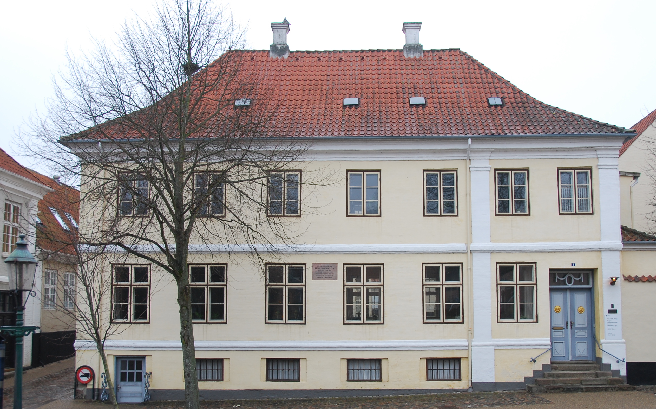
| Sankt Mogensgade 3 | | 1735 | Sct. Mogens Gade 3, 8800 Viborg | 56°27′04″N 9°24′40″Ø / 56.45101°N 9.41114°Ø / 56.45101; 9.41114 (Sankt Mogensgade 3) | | 791-70686-11 |
|
| Sankt Mogensgade 7 | Længehus, Den Hauchske Gård | 1520 | Sct. Mogens Gade 7, 8800 Viborg | 56°27′05″N 9°24′40″Ø / 56.45140°N 9.41118°Ø / 56.45140; 9.41118 (Sankt Mogensgade 7) | | 791-70694-1 |
|
| Sankt Mogensgade 9 A | Gavlhus, Villadsens Gård | 1520 | Sct. Mogens Gade 9A, 8800 Viborg | 56°27′06″N 9°24′41″Ø / 56.45159°N 9.41129°Ø / 56.45159; 9.41129 (Sankt Mogensgade 9 A) | | 791-70732-1 |
|
| Sankt Mogensgade 11 | Forhus | 1726 | Sct. Mogens Gade 11, 8800 Viborg | 56°27′06″N 9°24′41″Ø / 56.45169°N 9.41135°Ø / 56.45169; 9.41135 (Sankt Mogensgade 11) | | 791-70759-1 |
|
| Sankt Mogensgade 28-30 | Forhus | 1750 | Rosenstræde 1A, 8800 Viborg | 56°27′10″N 9°24′44″Ø / 56.45271°N 9.41211°Ø / 56.45271; 9.41211 (Sankt Mogensgade 28-30) | | 791-70929-4 |
|
| Sankt Mogensgade 28-30 | Forhus | 1750 | Sct. Mogens Gade 28A, 8800 Viborg | 56°27′10″N 9°24′43″Ø / 56.45279°N 9.41202°Ø / 56.45279; 9.41202 (Sankt Mogensgade 28-30) | | 791-70929-1 |
|
| Sankt Mogensgade 28-30 | Forhus | 1750 | Sct. Mogens Gade 28B, 8800 Viborg | 56°27′10″N 9°24′43″Ø / 56.45286°N 9.41202°Ø / 56.45286; 9.41202 (Sankt Mogensgade 28-30) | | 791-70929-2 |
|
| Sankt Mogensgade 28-30 | Forhus | 1750 | Sct. Mogens Gade 28C, 8800 Viborg | 56°27′10″N 9°24′43″Ø / 56.45276°N 9.41207°Ø / 56.45276; 9.41207 (Sankt Mogensgade 28-30) | | 791-70929-3 |
|
| Sankt Mogensgade 28-30 | Forhus | 1750 | Sct. Mogens Gade 30A, 8800 Viborg | 56°27′11″N 9°24′45″Ø / 56.45292°N 9.41239°Ø / 56.45292; 9.41239 (Sankt Mogensgade 28-30) | | 791-70929-5 |
|
| Sankt Mogensgade 28-30 | Forhus | 1750 | Sct. Mogens Gade 30B, 8800 Viborg | 56°27′11″N 9°24′43″Ø / 56.45293°N 9.41203°Ø / 56.45293; 9.41203 (Sankt Mogensgade 28-30) | | 791-70929-6 |
|
| Sankt Mogensgade 29 | Forhus | 1727 | Sct. Mogens Gade 29A, 8800 Viborg | 56°27′11″N 9°24′43″Ø / 56.45300°N 9.41182°Ø / 56.45300; 9.41182 (Sankt Mogensgade 29) | | 791-70910-1 |
|
| Sankt Mogensgade 38 | Forhus/sidehus | 1890 | Sct. Mogens Gade 38A, 8800 Viborg | 56°27′13″N 9°24′44″Ø / 56.45355°N 9.41227°Ø / 56.45355; 9.41227 (Sankt Mogensgade 38) | | 791-71046-1 |
|
| Sankt Mogensgade 38 | Forhus/sidehus | 1890 | Sct. Mogens Gade 38C, 8800 Viborg | 56°27′13″N 9°24′45″Ø / 56.45354°N 9.41259°Ø / 56.45354; 9.41259 (Sankt Mogensgade 38) | | 791-71046-2 |
|
| Skolestræde 1 | Hjørnehus | 1850 | Skolestræde 1, 8800 Viborg | 56°26′59″N 9°24′47″Ø / 56.44985°N 9.41302°Ø / 56.44985; 9.41302 (Skolestræde 1) | | 791-93090-1 |
|
| Skolestræde 2 | Byhus | 1524 | Skolestræde 2, 8800 Viborg | 56°27′00″N 9°24′48″Ø / 56.44987°N 9.41326°Ø / 56.44987; 9.41326 (Skolestræde 2) | | 791-93112-2 |
|
| Stiftsmuseet, Hedeselskabet (tidl.) | Museum | 1867 | Hjultorvet 9, 8800 Viborg | 56°27′00″N 9°24′30″Ø / 56.45010°N 9.40832°Ø / 56.45010; 9.40832 (Stiftsmuseet, Hedeselskabet (tidl.)) | | 791-42593-1 |
|
| Stiftsprovstegården | Længehus | 1700 | Sct. Leonis Stræde 1A, 8800 Viborg | 56°26′58″N 9°24′45″Ø / 56.44941°N 9.41250°Ø / 56.44941; 9.41250 (Stiftsprovstegården) | | 791-63477-2 |
|
| Stiftsprovstegården | Længehus | 1500 | Sct. Leonis Stræde 1, 8800 Viborg | 56°26′57″N 9°24′44″Ø / 56.44930°N 9.41228°Ø / 56.44930; 9.41228 (Stiftsprovstegården) | | 791-63477-1 |
|
| Stiftsprovstegården | Længehus | 1700 | Sct. Leonis Stræde 1, 8800 Viborg | 56°26′57″N 9°24′44″Ø / 56.44930°N 9.41228°Ø / 56.44930; 9.41228 (Stiftsprovstegården) | | 791-63477-3 |
|
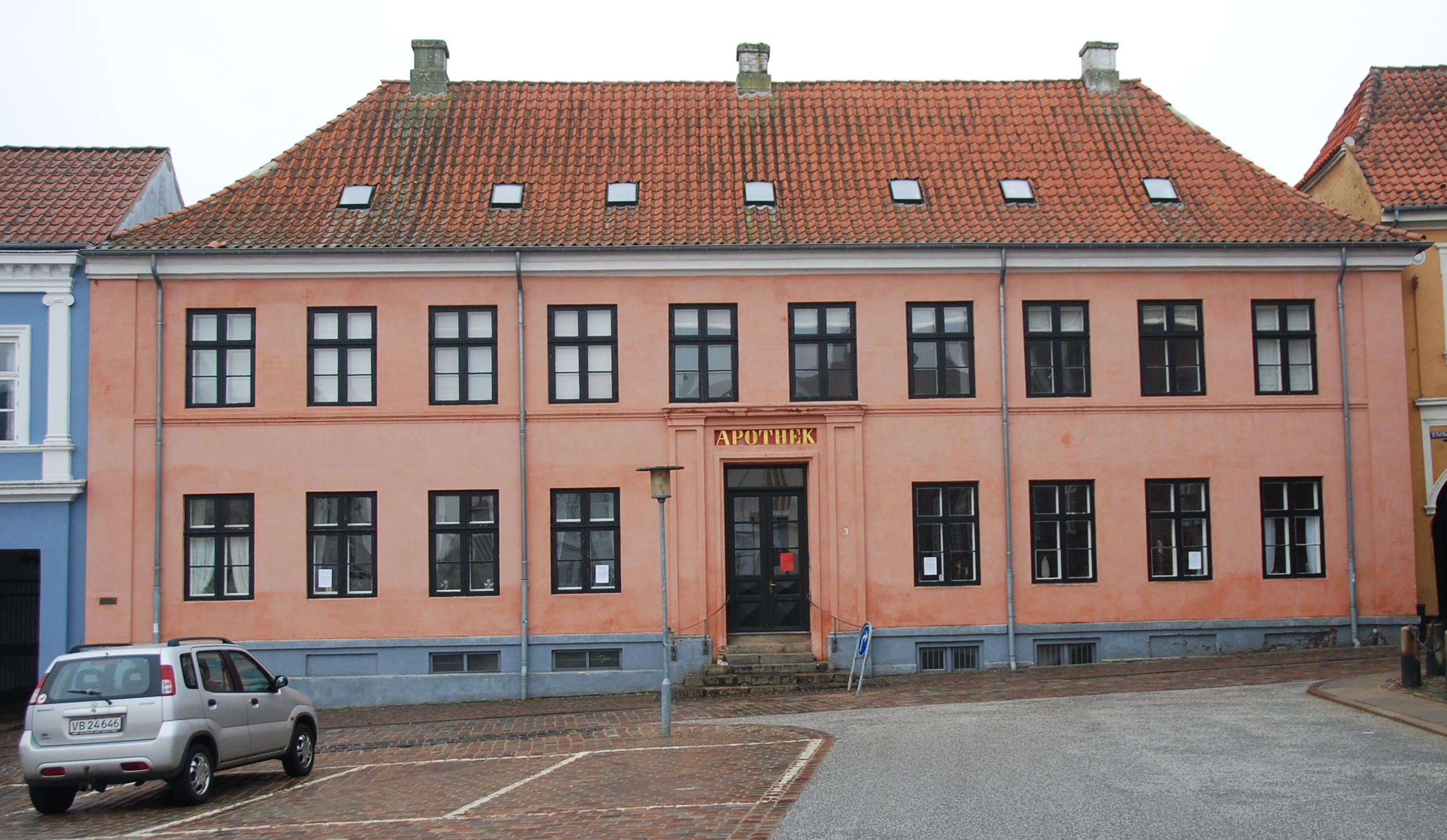
| Svaneapoteket | Sidehus | 1846 | Nytorv 3L, 8800 Viborg | 56°27′04″N 9°24′30″Ø / 56.45113°N 9.40842°Ø / 56.45113; 9.40842 (Svaneapoteket) | | 791-74754-2 |
|
| Svaneapoteket | Apotek | 1846 | Nytorv 3, 8800 Viborg | 56°27′04″N 9°24′33″Ø / 56.45102°N 9.40913°Ø / 56.45102; 9.40913 (Svaneapoteket) | | 791-74754-1 |
|
| Tangeværket | Elværk | 1918 | Bjerringbrovej 54, 8850 Bjerringbro | 56°21′16″N 9°36′09″Ø / 56.35435°N 9.60249°Ø / 56.35435; 9.60249 (Tangeværket) | | 791-202820-1 |
|
| Tjele | | 1535 | Hobro Landevej 90A, 8830 Tjele | 56°30′39″N 9°36′42″Ø / 56.51088°N 9.61164°Ø / 56.51088; 9.61164 (Tjele) | | 791-216843-19 |
|
| Tjele | | 1612 | Hobro Landevej 90, 8830 Tjele | 56°30′43″N 9°36′38″Ø / 56.51203°N 9.61065°Ø / 56.51203; 9.61065 (Tjele) | | 791-216843-13 |
|
| Tjele | | 1612 | Hobro Landevej 90, 8830 Tjele | 56°30′43″N 9°36′38″Ø / 56.51203°N 9.61065°Ø / 56.51203; 9.61065 (Tjele) | | 791-216843-14 |
|
| Tjele | | 1563 | Hobro Landevej 90, 8830 Tjele | 56°30′43″N 9°36′38″Ø / 56.51203°N 9.61065°Ø / 56.51203; 9.61065 (Tjele) | | 791-216843-20 |
|
| Tjele | | 1500 | Hobro Landevej 90, 8830 Tjele | 56°30′43″N 9°36′38″Ø / 56.51203°N 9.61065°Ø / 56.51203; 9.61065 (Tjele) | | 791-216843-21 |
|
| Tjele | | 1800 | Hobro Landevej 90, 8830 Tjele | 56°30′43″N 9°36′38″Ø / 56.51203°N 9.61065°Ø / 56.51203; 9.61065 (Tjele) | | 791-216843-24 |
|
| Tårupgård | Herregård | 1580 | Taarupgaard Alle 8, 8831 Løgstrup | 56°32′25″N 9°16′39″Ø / 56.54023°N 9.27756°Ø / 56.54023; 9.27756 (Tårupgård) | | 791-111579-3 |
|
| Tårupgård | Herregård | 1580 | Taarupgaard Alle 10, 8831 Løgstrup | 56°32′25″N 9°16′38″Ø / 56.54040°N 9.27724°Ø / 56.54040; 9.27724 (Tårupgård) | | 791-111579-1 |
|
| Tårupgård | Herregård | 1580 | Taarupgaard Alle 10, 8831 Løgstrup | 56°32′25″N 9°16′38″Ø / 56.54040°N 9.27724°Ø / 56.54040; 9.27724 (Tårupgård) | | 791-111579-2 |
|
| Ursins Gård | Forhus/sidehus | 1877 | Sct. Mogens Gade 32A, 8800 Viborg | 56°27′11″N 9°24′44″Ø / 56.45311°N 9.41209°Ø / 56.45311; 9.41209 (Ursins Gård) | | 791-70945-1 |
|
| Ursins Gård | Forhus/sidehus | 1877 | Sct. Mogens Gade 32B, 8800 Viborg | 56°27′11″N 9°24′43″Ø / 56.45304°N 9.41207°Ø / 56.45304; 9.41207 (Ursins Gård) | | 791-70945-2 |
|
| Viborg gamle Rådhus | Det gamle rådhus | 1728 | Domkirkestræde 2, 8800 Viborg | 56°27′01″N 9°24′42″Ø / 56.45039°N 9.41176°Ø / 56.45039; 9.41176 (Viborg gamle Rådhus) | | 791-18919-1 |
|
| Viborg Katedralskole | Gymnasium | 1926 | Gl. Skivevej 2, 8800 Viborg | 56°27′26″N 9°24′44″Ø / 56.45734°N 9.41212°Ø / 56.45734; 9.41212 (Viborg Katedralskole) | | 791-91012-1 |
|
| Viborg Stations remise | Remise | 1902 | Banegårdspladsen 2B, 8800 Viborg | 56°26′50″N 9°23′51″Ø / 56.44728°N 9.39757°Ø / 56.44728; 9.39757 (Viborg Stations remise) | | 791-175291-1 |
|
| Viborg Stations remise | Kontorbygning | 1902 | Banegårdspladsen 2B, 8800 Viborg | 56°26′50″N 9°23′51″Ø / 56.44728°N 9.39757°Ø / 56.44728; 9.39757 (Viborg Stations remise) | | 791-175291-5 |
|
| Viborg Teater | Teaterbygning | 1908 | Gravene 23A, 8800 Viborg | 56°27′04″N 9°24′23″Ø / 56.45098°N 9.40632°Ø / 56.45098; 9.40632 (Viborg Teater) | | 791-6457-1 |
|
| Viskum | | 1860 | Østervangsvej 28, 8830 Tjele | 56°27′02″N 9°35′12″Ø / 56.45042°N 9.58656°Ø / 56.45042; 9.58656 (Viskum) | | 791-218103-1 |
|
| Vroue Præstegård | | 1723 | Vrouevej 5, 7800 Skive | 56°26′30″N 9°01′49″Ø / 56.44157°N 9.03027°Ø / 56.44157; 9.03027 (Vroue Præstegård) | | 791-207699-1 | |


.jpg)


