Aranjuez
| Aranjuez | |||||
|---|---|---|---|---|---|
| |||||
 | |||||
| Overblik | |||||
| Land | |||||
| Borgmester | María José Martínez de la Fuente[1] | ||||
| Autonom region | |||||
| Provins | |||||
| Amt | Las Vegas | ||||
| Postnr. | 28300, 28310, 28312 | ||||
| Nummerpladebogstav(er) | M | ||||
| Demografi | |||||
| Indbyggere | 60.668 (2023) | ||||
| - Areal | 201 km² | ||||
| - Befolkningstæthed | 302 pr. km² | ||||
| Andet | |||||
| Tidszone | UTC+1 | ||||
| Højde m.o.h. | 494 m | ||||
| Hjemmeside | www.aranjuez.es | ||||
| Oversigtskort | |||||
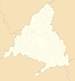
| Kommunens beliggenhed i Madrid-regionen | |||||
(c) Miguillen, CC BY-SA 3.0 Aranjuez | |||||
Aranjuez er en by og kommune i det centrale Spanien i Madrid-regionen. Den har et indbyggertal på 60.668 (2023) indbyggere.
Referencer
Eksterne henvisninger
| Spire |
Medier brugt på denne side
Forfatter/Opretter: See file history, Licens: CC0
Flag of the Community of Madrid (Spain)
Forfatter/Opretter: Roi González Villa (Vivaelcelta), Licens: CC BY-SA 3.0
Location map of Spain
Equirectangular projection, N/S stretching 130 %. Geographic limits of the map:
- N: 44.4° N
- S: 34.7° N
- W: 9.9° W
- E: 4.8° E
Forfatter/Opretter: jynus, Licens: CC BY-SA 3.0
Silhouette of Spain with Spanish Flag.
Forfatter/Opretter: Tschubby, Licens: CC BY-SA 3.0
Gemeinde Aranjuez
(c) Asqueladd, CC BY-SA 3.0
Bandera del municipio de Aranjuez (Comunidad de Madrid, España):
De proporciones 2:3. Paño azul, cargado al centro con el Escudo de Armas de la Villa, oficialmente aprobado, con su timbre.[1]
- ↑ RESOLUCIÓN de 5 de junio de 1999, de la Secretaría General Técnica de la Consejería de Medio Ambiente y Desarrollo Regional, por la que se da publicidad al Acuerdo de 20 de mayo de 1999, del Consejo de Gobierno, por el que se autoriza al Ayuntamiento de Aranjuez, de la provincia de Madrid, para adoptar bandera municipal. (pdf). Boletín Oficial del Estado nº 194. Gobierno de España (1999-08-14).


