Alunda
| Alunda | |
|---|---|
 | |
| Overblik | |
| Land | |
| Landskab | Uppland |
| Län | Uppsala |
| Kommune | Östhammars kommun |
| Demografi | |
| Indbyggere | 2.677 (2023) |
| - Areal | 3,31 km² |
| - Befolkningstæthed | 809 pr. km² |
| Andet | |
| Tidszone | UTC+1 (normaltid) UTC+2 (sommertid) |
| Oversigtskort | |
Alunda er en lille by beliggende i Östhammars Kommune i Uppsala län i landskabet Uppland i Sverige. Den har 2.677 (2023) indbyggere.
Referencer
Eksterne henvisninger
Medier brugt på denne side
Forfatter/Opretter: Erik Frohne, Licens: CC BY 3.0
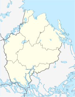
Location map of Uppsala county in Sweden
Equirectangular projection, N/S stretching 200 %. Geographic limits of the map:
- N: 60.80° N
- S: 59.30° N
- W: 16.60° E
- E: 18.90° E
Forfatter/Opretter: Silverkey (Mickaël Delcey), Licens: CC BY-SA 4.0
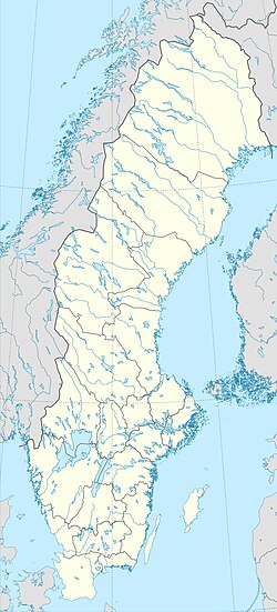
Sweden location map with Lambert conformal conic projection
- projection parameters : lon_0=15 lat_1=55 lat_2=70 lat_0=62.5
- map limits: minx=-293328.424 maxx=431222.998 miny=-819642.953 maxy=775613.165
- approximate projection formula
- x=1588.925/(tan(0.785398+{{{2}}}*0.0087266))^0.8896*sin(0.0155265*({{{3}}}−15))+40.5031
- y=720.67724/(tan(0.785398+{{{2}}}*0.0087266))^0.8896*cos(0.0155265*({{{3}}}−15))−157.39943


