Wight9265
Forfatter/Opretter:
Kredit:
Transferred from en.wikipedia to Commons.
Shortlink:
kilde:
størrelse:
538 x 497 Pixel (16057 Bytes)
beskrivelse:
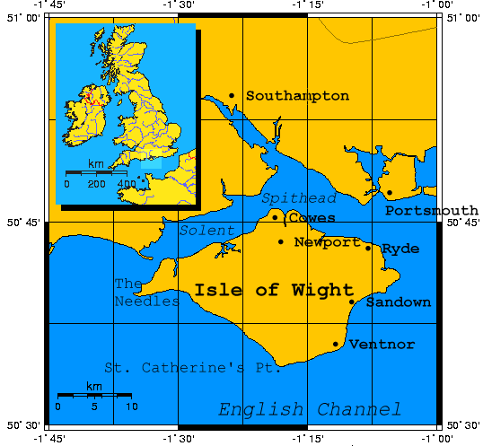
Isle of Wight.
Created using PD and GFDL sources: US Government datasets, GMT software, and GIMP in Linux:
- GMT is an open source collection of ~60 tools for manipulating geographic and Cartesian data sets (including filtering, trend fitting, gridding, projecting, etc.) and producing Encapsulated PostScript File (EPS) illustrations ranging from simple x-y plots via contour maps to artificially illuminated surfaces and 3-D perspective views. GMT supports ~30 map projections and transformations and comes with support data such as coastlines, rivers, and political boundaries. GMT is developed and maintained by Paul Wessel and Walter H. F. Smith with help from a global set of volunteers, and is supported by the National Science Foundation. It is released under the GNU General Public License ... data from the US national data centers (NOAA, USGS, NGDC, NEIC) can be used with GMT, and they are all freely available from these centers and individuals via the internet ... http://gmt.soest.hawaii.edu/
Licens:
Public domain
Yderligere oplysninger om licens til billedet kan findes her. Sidste ændring: Wed, 17 Apr 2024 17:42:33 GMT