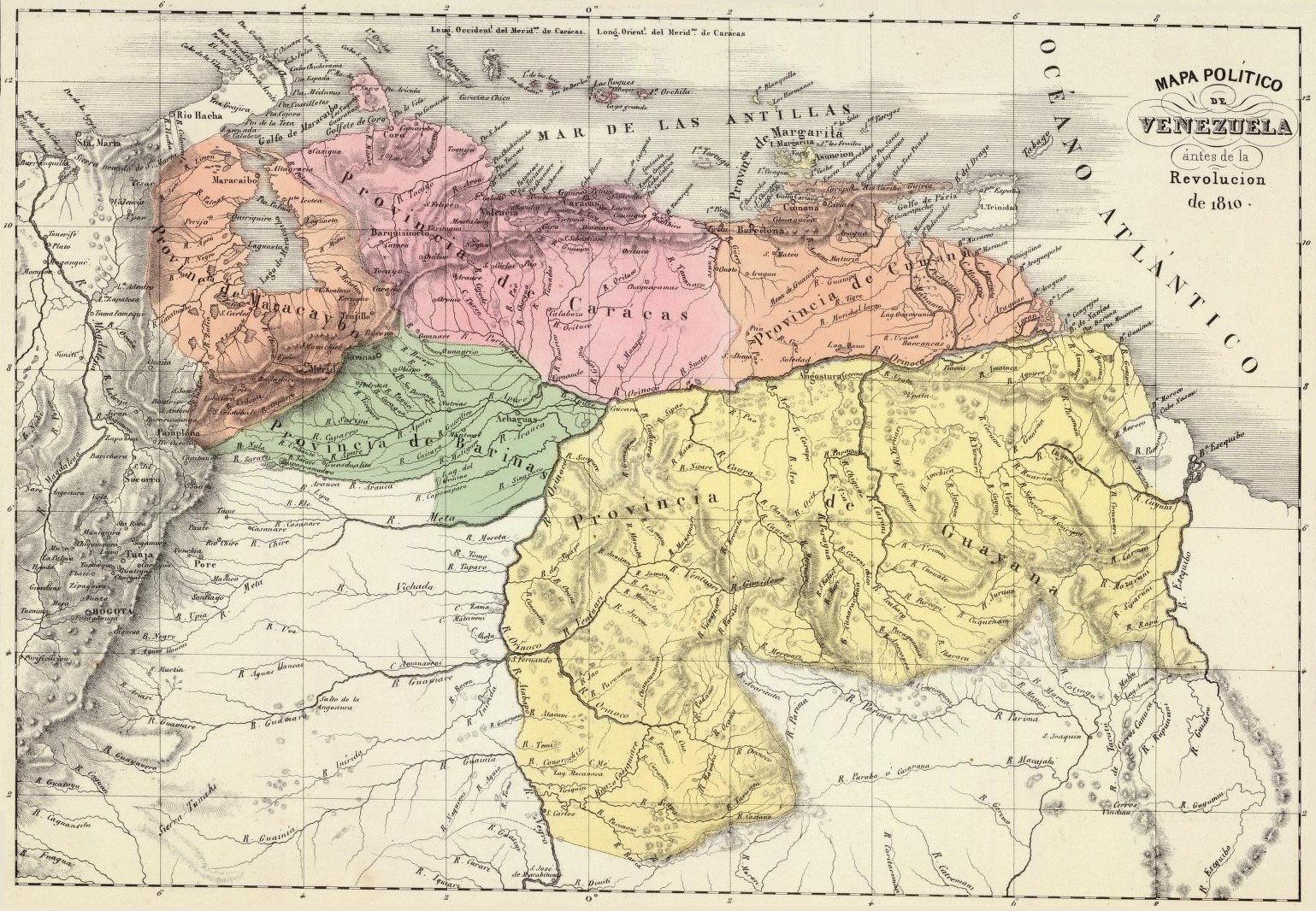
Venezuela en 1810
Forfatter/Opretter:
Shortlink:
kilde:
størrelse:
1539 x 1066 Pixel (699581 Bytes)
beskrivelse:
Political map of Venezuela in 1810. Taken from the "Physical and Political Atlas of the Republic of Venezuela", by Agustín Codazzi, 1840.
Licens:
Public domain
Yderligere oplysninger om licens til billedet kan findes her. Sidste ændring: Mon, 01 Apr 2024 03:27:01 GMT