Treaty of Sèvres map partitioning Anatolia
Forfatter/Opretter:
Kredit:
Self-made, based on File:TreatyOfSevres.png, corrected according to [1]
![[1]](http://faculty.nipissingu.ca/muhlberger/uploaded_images/Map-color-Treaty-of-Sevres-748832.png)
Shortlink:
kilde:
størrelse:
1024 x 738 Pixel (100393 Bytes)
beskrivelse:
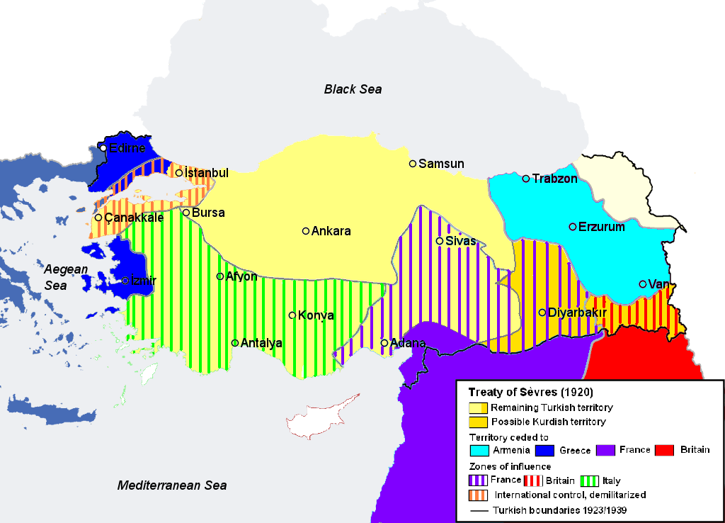
Map illustrating the partitioning of Anatolia according to the Treaty of Sèvres (1920) after World War I.
Licens:
Public domain
Yderligere oplysninger om licens til billedet kan findes her. Sidste ændring: Tue, 13 Feb 2024 10:48:55 GMT