Tahoua Region departments

- derivative work: T L Miles (talk)
- Tahoua_arrondissements.png: User Rarelibra on en.wikipedia
Summary
Map of the Departments of Tahoua Region, following the changes in administrative naming 1999-2005, with the addition of Abalak Department: a new subdivision created from the Tchin-tabaraden Department. Derived from Map of the arrondissements of Tahoua department in Niger. Created by Rarelibra 18:37, 13 September 2006 (UTC) for public domain use, using MapInfo Professional v8.5 and various mapping resources.
See:
fr:Tahoua (région) and en:Departments of Niger
Image:Tahoua arrondissements.png
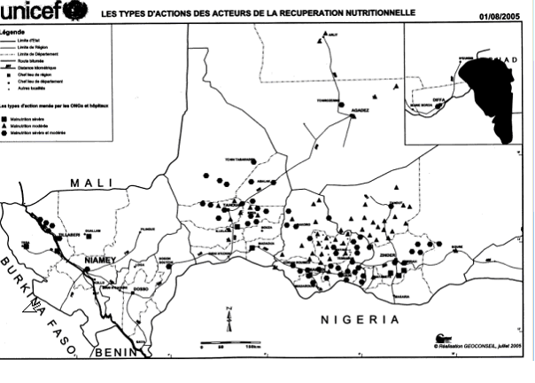
http://www.senat.fr/rap/r04-512/r04-5128.gif Unicef Map http://www.fao.org/ag/agl/agll/wocat/wqasum.asp?questid=NIG05 FAO report http://www.fao.org/ag/agl/agll/wocat/img/qtnig7d.jpg FAO Map http://fr.wikipedia.org/wiki/Tahoua_%28r%C3%A9gion%29 Tahoua (région)
* Département de Abalak
Superficie: 77 445 km² (1)
Population: 80 777 hts
Centre urbaine: Ville d'AbalakYderligere oplysninger om licens til billedet kan findes her. Sidste ændring: Sun, 15 Oct 2023 14:33:50 GMT