Sweden Stockholm relief location map
Forfatter/Opretter:
Silverkey (Mickaël Delcey)
Attribution:
Billedet er tagget "Attribution Required", men der blev ikke angivet nogen tilskrivningsoplysninger. Attributionsparameteren blev sandsynligvis udeladt ved brug af MediaWiki-skabelonen til CC-BY-licenserne. Forfattere og ophavsmænd finder et eksempel på korrekt brug af eksempel her. her.
Kredit:
Eget arbejde
- Sources of data:
- GSD-Elevation data, grid 50+ nh published by Lantmäteriet under CC-BY 4.0
- Bathymetry is based on SRTM30_PLUS.
- European catchments and Rivers network system (EEA standard re-use policy)
- Shorelines and political boundaries taken from File:Sweden Stockholm location map.svg created by Erik Frohne under GFDL/CC-BY 3.0
- GSD-Elevation data, grid 50+ nh published by Lantmäteriet under CC-BY 4.0
Shortlink:
kilde:
størrelse:
1165 x 1532 Pixel (2329585 Bytes)
beskrivelse:
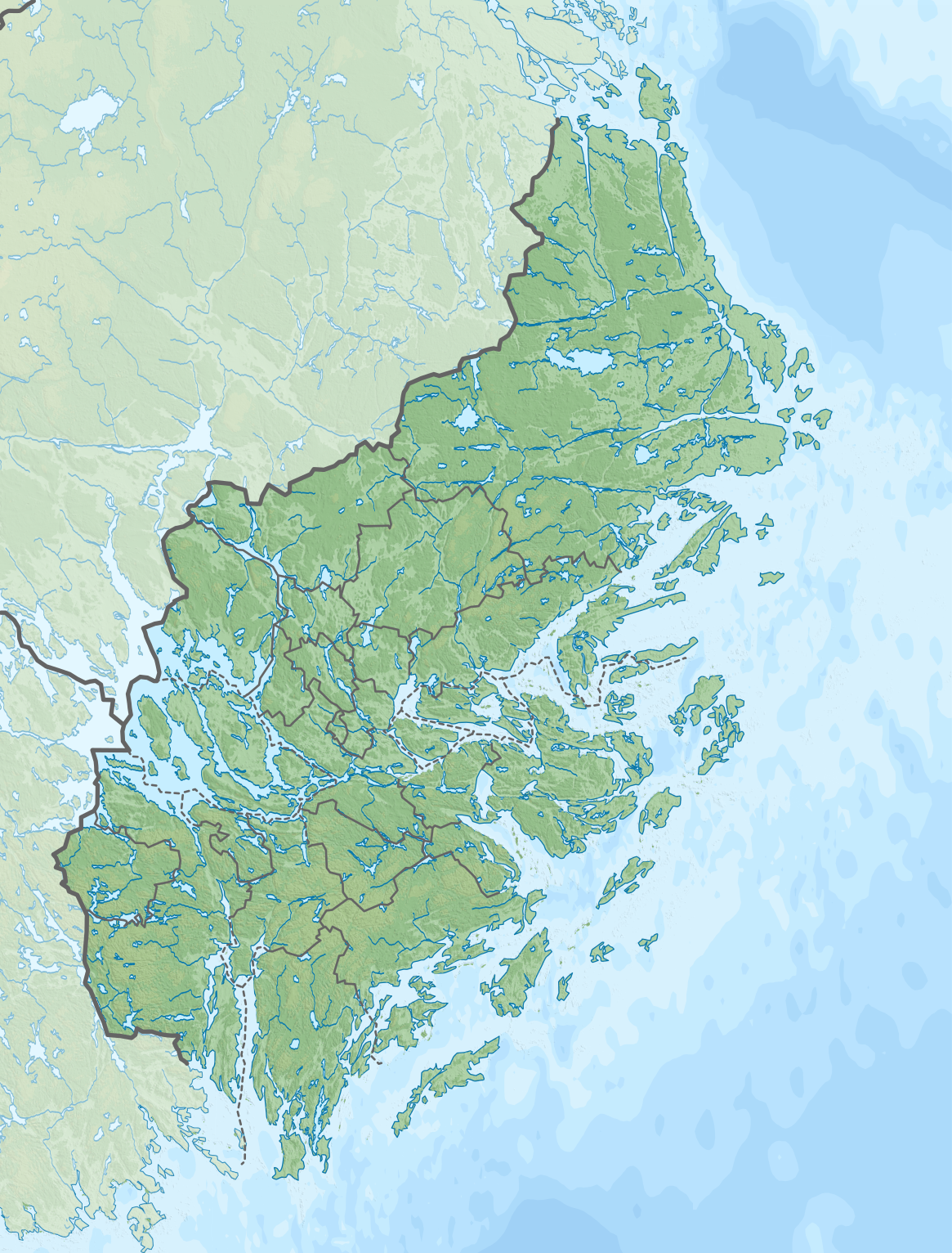
Location map of Stockholm county in Sweden
Equirectangular projection, N/S stretching 197 %. Geographic limits of the map:
- N: 60.30° N
- S: 58.70° N
- W: 17.10° E
- E: 19.50° E
Licens:
Licensbetingelser:
Creative Commons Attribution-Share Alike 4.0
Yderligere oplysninger om licens til billedet kan findes her. Sidste ændring: Sun, 18 Sep 2022 21:16:24 GMT