SofE7-22.1.17 697ZGaBee
Forfatter/Opretter:
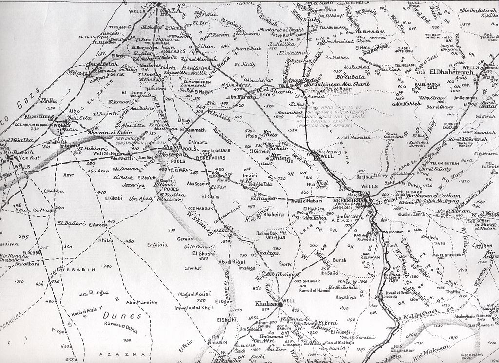
British Army Survey of Egypt Map No. 697Z
Kredit:
British Army Survey of Egypt Map No. 697Z.
Shortlink:
kilde:
størrelse:
3467 x 2521 Pixel (2025792 Bytes)
beskrivelse:
Detail of 1917 El Arish to Beersheba Map Scale 1:250,000.
Licens:
Public domain
Kommentar på licensen:
This work created by the United Kingdom Government is in the public domain.
This is because it is one of the following:
- It is a photograph taken prior to 1 June 1957; or
- It was published prior to 1974; or
- It is an artistic work other than a photograph or engraving (e.g. a painting) which was created prior to 1974.
HMSO has declared that the expiry of Crown Copyrights applies worldwide (ref: HMSO Email Reply)
More information.
Yderligere oplysninger om licens til billedet kan findes her. Sidste ændring: Tue, 13 Feb 2024 15:46:17 GMT
