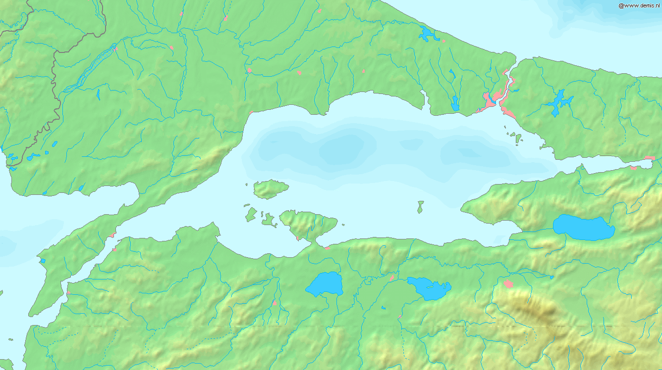
Sea of Marmara map
Forfatter/Opretter:
Website Demis.nl
Kredit:
Website Demis.nl
Shortlink:
kilde:
størrelse:
1336 x 748 Pixel (341640 Bytes)
beskrivelse:
Map of the Sea of Marmara. Bounding box West 26°, South 39.8°, East 30°, North 41.5°.
Licens:
Public domain
Kommentar på licensen:
This image is in the public domain because it came from the site https://www.demis.nl/products/web-map-server/examples/ and was released by the copyright holder. Permission is granted to copy, distribute and/or modify this map since it is based on free of copyright images from: www.demis.nl. See also approval email on de.wp and its clarification.
Yderligere oplysninger om licens til billedet kan findes her. Sidste ændring: Sun, 14 Apr 2024 20:20:09 GMT