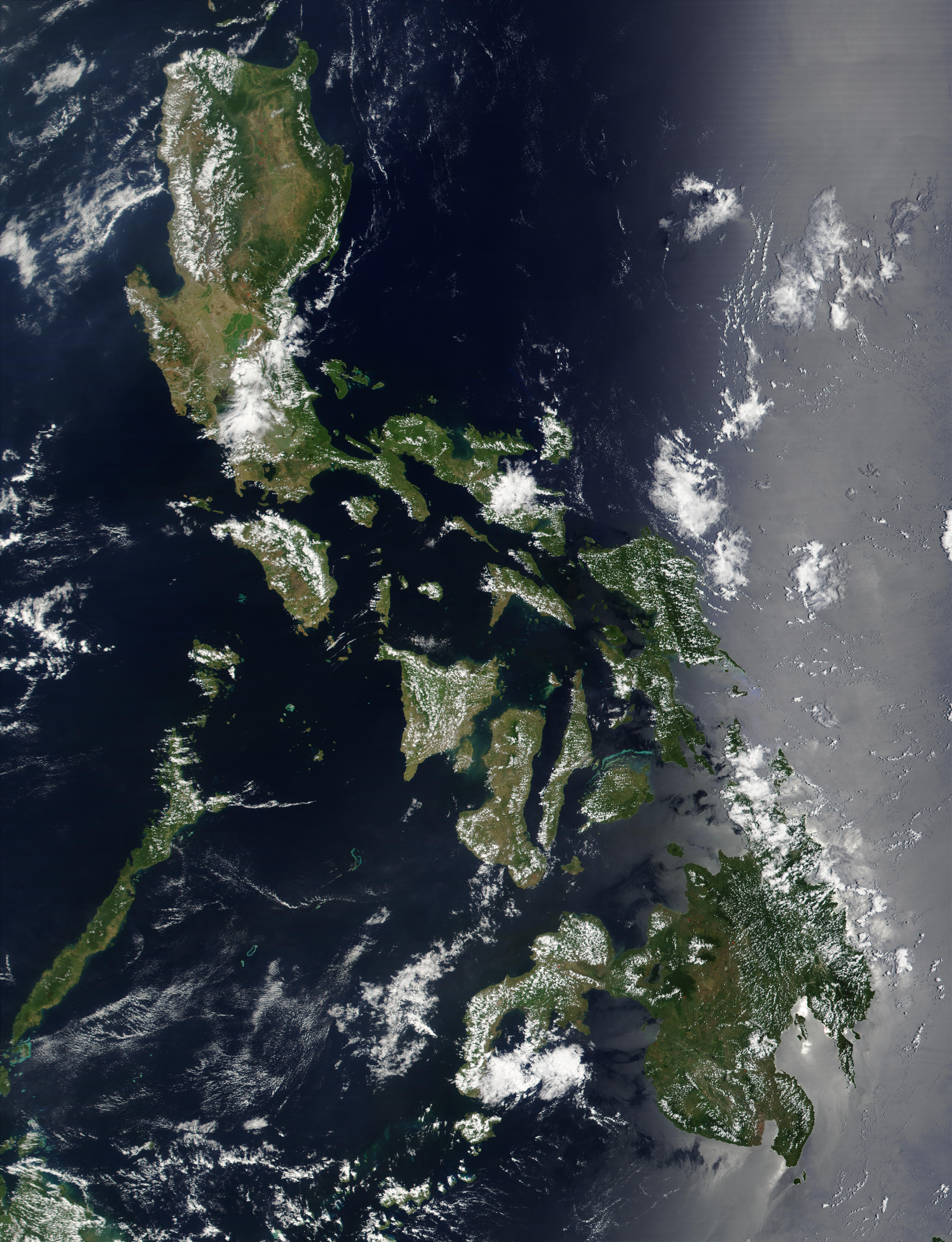
Satellite image of Philippines in March 2002
Forfatter/Opretter:
NASA
Shortlink:
kilde:
størrelse:
4600 x 6000 Pixel (3751105 Bytes)
beskrivelse:
Satellite image of Philippines in March 2002.
Licens:
Public domain
Yderligere oplysninger om licens til billedet kan findes her. Sidste ændring: Thu, 01 Feb 2024 12:25:24 GMT