Roman Gaul - AD 400
Forfatter/Opretter:
- The_Roman_Empire_ca_400_AD.png: Cplakidas
- derivative work: Jbribeiro1
Kredit:
Shortlink:
kilde:
størrelse:
1369 x 833 Pixel (1182322 Bytes)
beskrivelse:
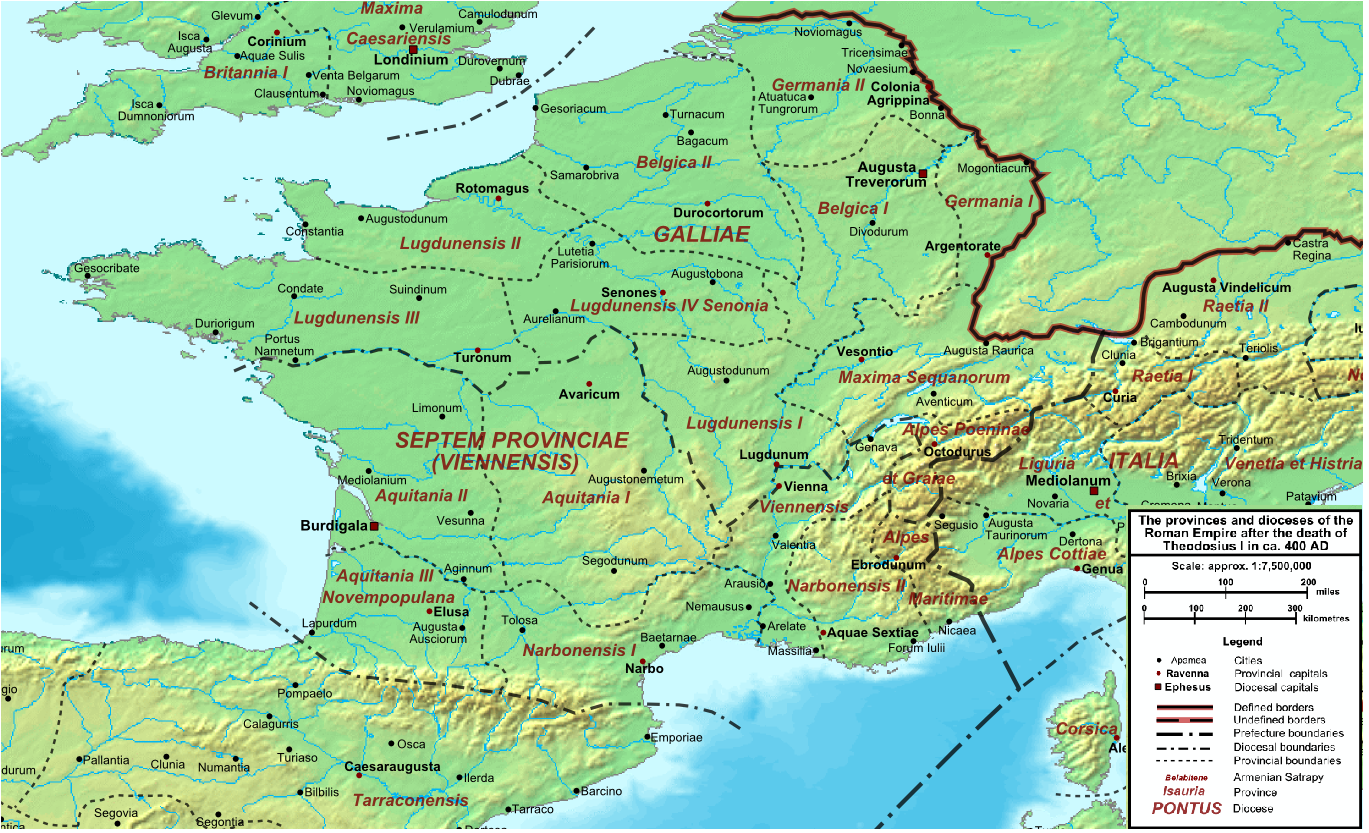
Map of the Roman Empire ca. 400 AD, showing the administrative division into dioceses and provinces, as well as the major cities. The demarcation between Eastern and Western Empires is noted in red.
Licens:
Public domain
Yderligere oplysninger om licens til billedet kan findes her. Sidste ændring: Sat, 30 Mar 2024 07:54:09 GMT