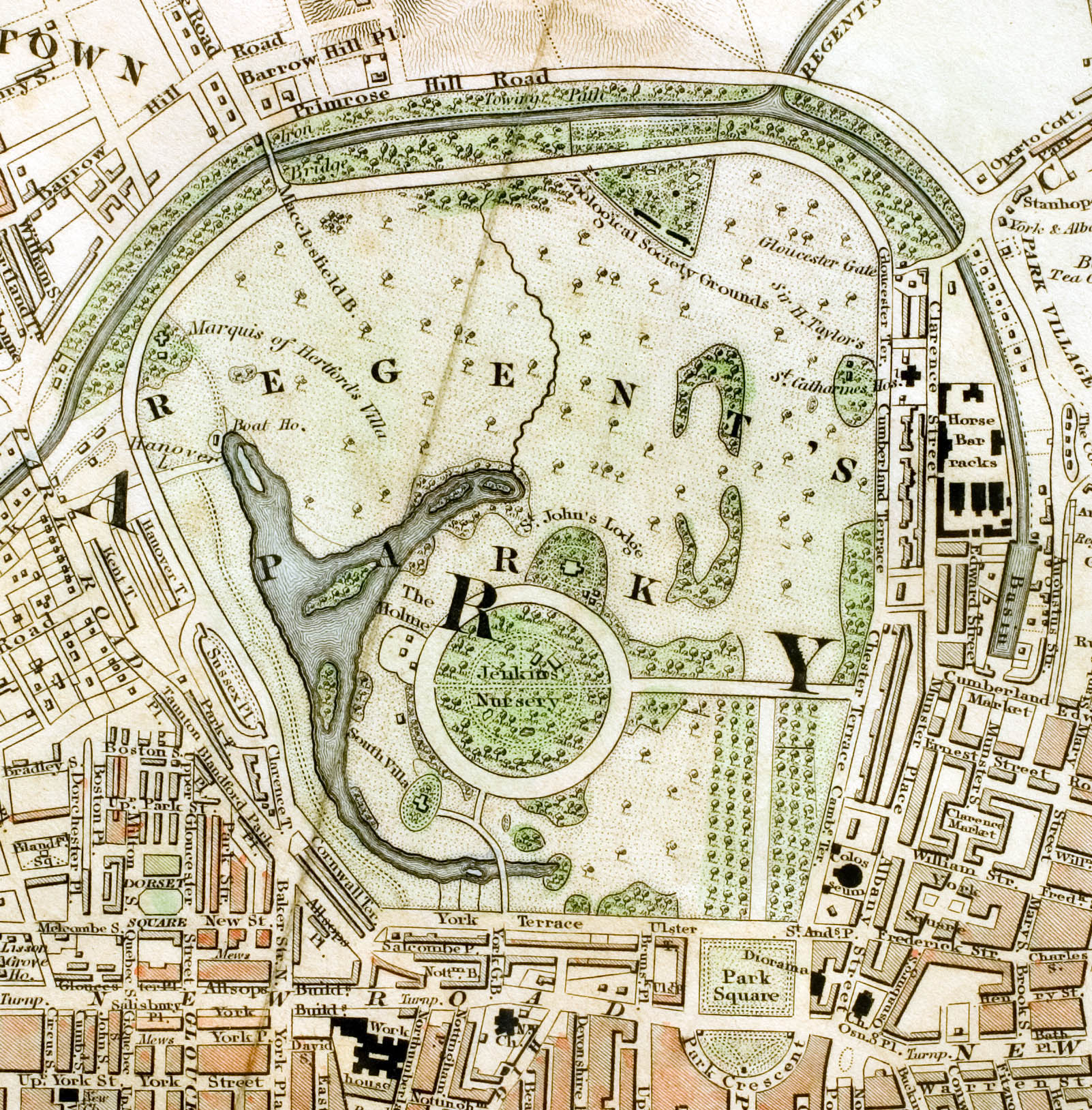
Regent's Park London from 1833 Schmollinger map
Forfatter/Opretter:
W. Schmollinger
Kredit:
Improved map of London
Shortlink:
kilde:
størrelse:
1602 x 1628 Pixel (819961 Bytes)
beskrivelse:
Regent's Park section of "Improved map of London for 1833, from Actual Survey. Engraved by W. Schmollinger, 27 Goswell Terrace", photographed for Wikipedia by User:Pointillist. All rights of the photographer are hereby released. The grey fold mark represents the vertical orientation of the original map.
Licens:
Public domain
Yderligere oplysninger om licens til billedet kan findes her. Sidste ændring: Sun, 14 Jan 2024 23:58:45 GMT