Randstad
Forfatter/Opretter:
Attribution:
Billedet er tagget "Attribution Required", men der blev ikke angivet nogen tilskrivningsoplysninger. Attributionsparameteren blev sandsynligvis udeladt ved brug af MediaWiki-skabelonen til CC-BY-licenserne. Forfattere og ophavsmænd finder et eksempel på korrekt brug af eksempel her. her.
Kredit:
Eget arbejde
Shortlink:
kilde:
størrelse:
1053 x 1024 Pixel (541057 Bytes)
beskrivelse:
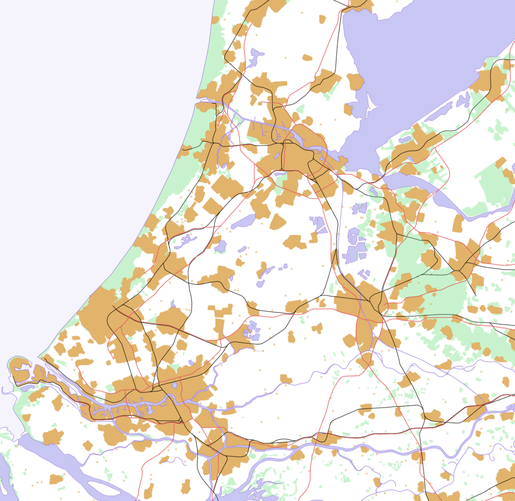
This is a schematic map of the Randstad, Netherlands.
A few notes:
- Orange: Urban areas (schematic) - the urban areas have been a bit overestimated to show the urban areas more clearly. Areas (like parks) in a city are part of the urban area. Some very small villages are not included. Residential areas, industrial and commercial areas are combined.
- Green: Forests and dunes (schematic)- nearby forests and dunes are combined.
- Light Blue: Sea (schematic)
- Middle Blue: Rivers and lakes (schematic) - smaller rivers, lakes and creeks are not included.
- Red: Highways
- Black: Railways
Licens:
Licensbetingelser:
Creative Commons Attribution-Share Alike 3.0
Yderligere oplysninger om licens til billedet kan findes her. Sidste ændring: Sun, 14 Jan 2024 13:38:14 GMT