PigWar-boundaries
Forfatter/Opretter:
Attribution:
Billedet er tagget "Attribution Required", men der blev ikke angivet nogen tilskrivningsoplysninger. Attributionsparameteren blev sandsynligvis udeladt ved brug af MediaWiki-skabelonen til CC-BY-licenserne. Forfattere og ophavsmænd finder et eksempel på korrekt brug af eksempel her. her.
Kredit:
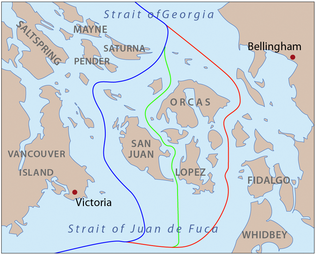
self-made, information one boundaries from Hayes, Derek, Historical Atlas of the Pacific Northwest.
Shortlink:
kilde:
størrelse:
1058 x 855 Pixel (652338 Bytes)
beskrivelse:
This is a map of the proposed boundaries between the United States and Canada around the San Juan Islands, for use in describing the Pig War. I, Pfly, made it with ArcGIS, Adobe Illustrator, and Adobe Photoshop.
Licens:
Licensbetingelser:
Creative Commons Attribution-Share Alike 3.0
Yderligere oplysninger om licens til billedet kan findes her. Sidste ændring: Thu, 21 Mar 2024 09:53:25 GMT