PhiladelCampaignHessianMap
Shortlink:
kilde:
størrelse:
1510 x 1282 Pixel (280724 Bytes)
beskrivelse:
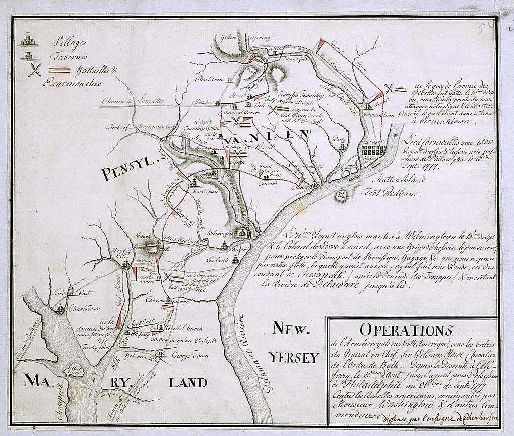
18th century Hessian map from the Marburg State Library in Germany
of the Philadelphia Campaign (Battle of Brandywine, Forts Mercer and Redbank, Germantown, etc.) via the website of the West Jersey History Project http://westjerseyhistory.org/maps/revwarmaps/hessianmaps/index6.shtml Text in French, accompanying maps dated either 1777 or 1787
Quick translation
"Operations of the royal army in North America under the orders of Sir William Howe, Knight of the Order of Bath. From the descent at Elk Ferry 25 August until taking possession of Philadelphia 26 September, 1777 against the american Rebels commandeed by Mr. Washington and other commanders.
(Map) Designed by Ensign Cochenhausen"
Licens:
Public domain
Yderligere oplysninger om licens til billedet kan findes her. Sidste ændring: Wed, 28 Feb 2024 17:22:41 GMT
