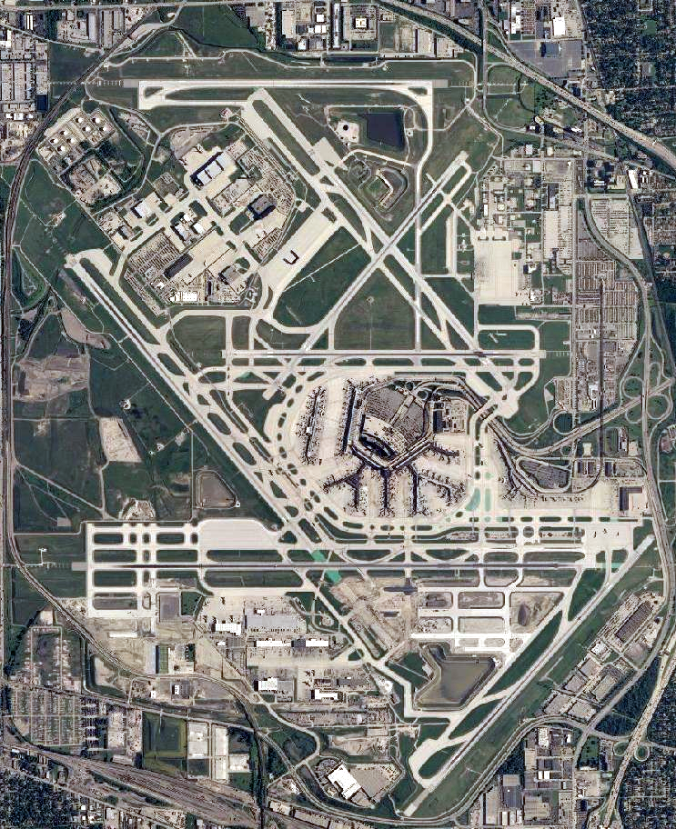
O'Hare International Airport (USGS)
Forfatter/Opretter:
This image is in the public domain in the United States because it only contains materials that originally came from the United States Geological Survey, an agency of the United States Department of the Interior. For more information, see the official USGS copyright policy.
Kredit:
USGS National Map Viewer
Shortlink:
kilde:
.png?uselang=da)
størrelse:
743 x 912 Pixel (1634031 Bytes)
beskrivelse:
Satellite image of Chicago O'Hare International Airport
Licens:
Public domain
Yderligere oplysninger om licens til billedet kan findes her. Sidste ændring: Wed, 06 Jul 2022 17:35:20 GMT
.png?uselang=de)