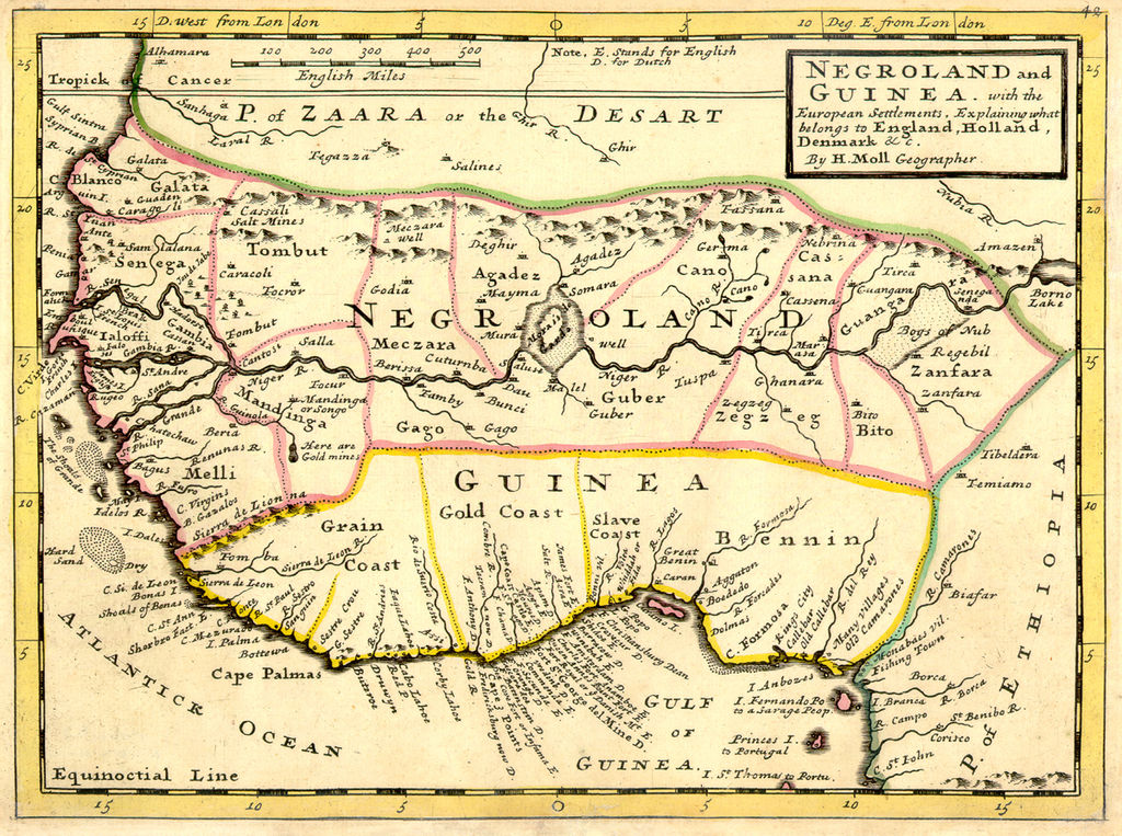
Negroland and Guinea with the European Settlements, 1736
Forfatter/Opretter:
Kredit:
University of Florida, George A. Smathers Libraries, historic African maps: 1729 Herman Moll (#ALW1663)
Shortlink:
kilde:
størrelse:
1200 x 894 Pixel (1624023 Bytes)
beskrivelse:
Full title: 'Negroland and Guinea with the European Settlements, Explaining what belongs to England, Holland, Denmark, etc'. By H. Moll Geographer (Printed and sold by T. Bowles next ye Chapter House in St. Pauls Church yard, & I. Bowles at ye Black Horse in Cornhill, 1729, orig. published in 1727). [1]
Licens:
Public domain
Yderligere oplysninger om licens til billedet kan findes her. Sidste ændring: Sun, 28 Apr 2024 05:27:12 GMT
