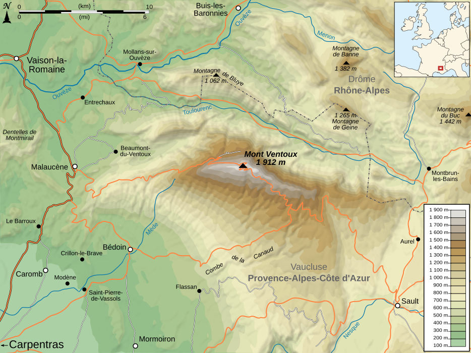
Mont Ventoux map-fr
© Sémhur / Wikimedia Commons, CC BY-SA 4.0
Forfatter/Opretter:
Kredit:
Eget arbejde.
Sources :
- Topography : data from NASA Shuttle Radar Topography Mission (SRTM3 v.2 & SWDB) (public domain)
- Roads, villages and rivers from Demis (see the approval e-mail and the Demis forum).
- Locator map made from Blank_map_of_Europe_-_Atelier_graphique_colors.svg created by Historicair under GFDL & CC-BY-SA-2.5
- Other things (scale, symbols, ...) from Image:Maps template-fr.svg by Sting.
Softwares used:
- NASA datas edited with 3DEM and Global Mapper 9 (limited version) by the United States Geological Survey (USGS)
- Demis data edited with Demis Mapper
- Vectorized with Inkscape
- Cartographic tutorials (in french)
Others:
- UTM map projection
- WGS84 geodetic system
- Shaded relief (ligth direction): altitude 80°, azimuth 315°
- Font: Arial
- The relief shadow layout is a raster image embedded in the SVG file.
Shortlink:
kilde:
størrelse:
934 x 700 Pixel (702232 Bytes)
beskrivelse:
Topographic map of the Mont Ventoux, France.
Licens:
Licensbetingelser:
Creative Commons Attribution-Share Alike 4.0
Yderligere oplysninger om licens til billedet kan findes her. Sidste ændring: Fri, 16 Feb 2024 02:28:16 GMT
