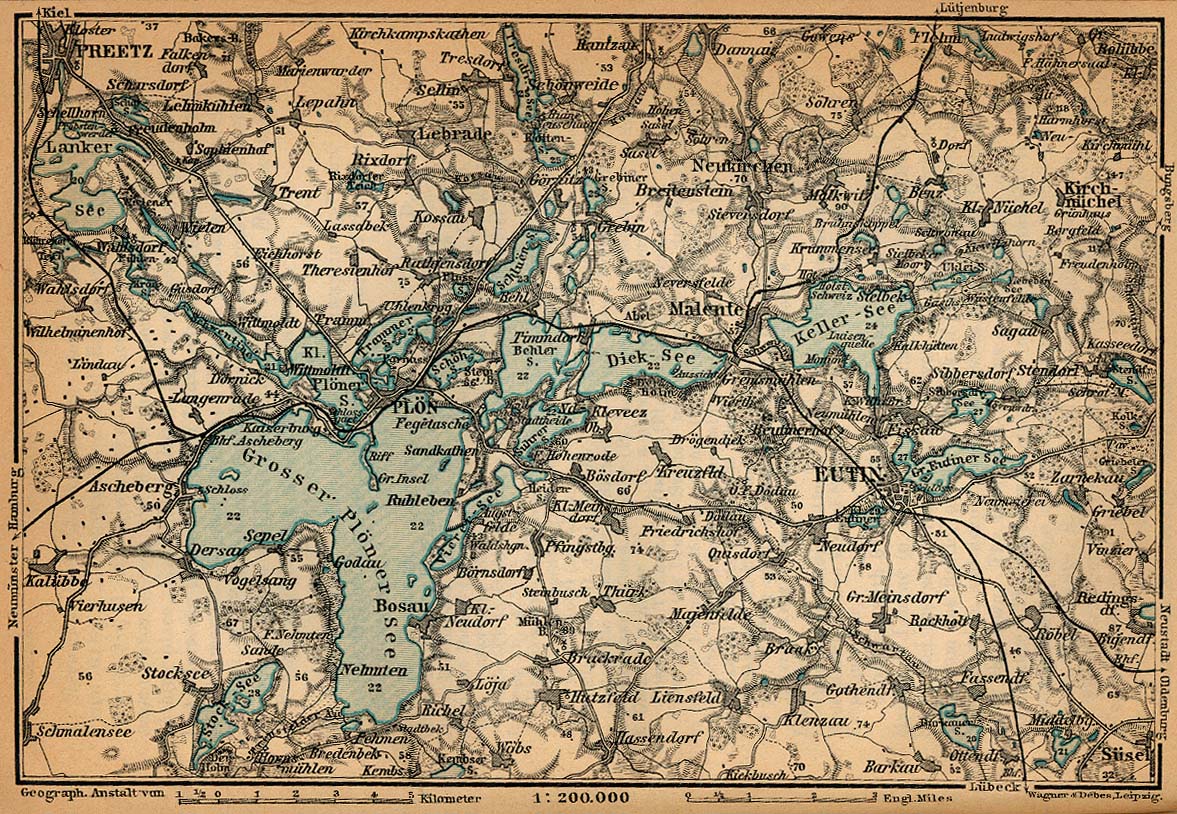
Map holstein switzerland 1910

Forfatter/Opretter:
"Northern Germany as far as the Bavarian and Austrian Frontiers; Handbook for Travellers" by Karl Baedeker. Fifteenth Revised Edition. Leipzig, Karl Baedeker; New York, Charles Scribner's Sons 1910.
Kredit:
Shortlink:
kilde:
størrelse:
1177 x 814 Pixel (379756 Bytes)
beskrivelse:
Die Holsteinische Schweiz ("Holstein Switzerland") um 1910
Licens:
Public domain
Kommentar på licensen:
"Courtesy of the University of Texas Libraries, The University of Texas at Austin." http://www.lib.utexas.edu/maps/map_sites/hist_sites.html
Yderligere oplysninger om licens til billedet kan findes her. Sidste ændring: Sat, 23 Dec 2023 00:15:56 GMT