Map Gaels Brythons Picts
Forfatter/Opretter:
Attribution:
Billedet er tagget "Attribution Required", men der blev ikke angivet nogen tilskrivningsoplysninger. Attributionsparameteren blev sandsynligvis udeladt ved brug af MediaWiki-skabelonen til CC-BY-licenserne. Forfattere og ophavsmænd finder et eksempel på korrekt brug af eksempel her. her.
Kredit:
Own work, based on File:Uk map home nations.png
Shortlink:
kilde:
størrelse:
643 x 829 Pixel (67122 Bytes)
beskrivelse:
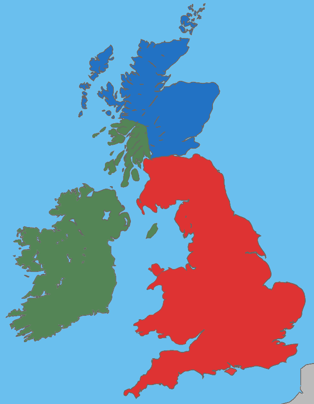
A map showing the approximate areas where the Gaelic (green), Brythonic (red) and Pictish (blue) languages were spoken during the 5th century CE; the period between the Roman withdrawal and the founding of Anglo-Saxon kingdoms.
Licens:
Licensbetingelser:
Creative Commons Attribution-Share Alike 4.0
Yderligere oplysninger om licens til billedet kan findes her. Sidste ændring: Thu, 08 Feb 2024 02:37:42 GMT