Map Denmark Demis SE islands
Forfatter/Opretter:
Wikid77 (derivative of Demis map)
Kredit:
Derivative of Demis map: Image:La2-demis-denmark.png
Shortlink:
kilde:
størrelse:
415 x 420 Pixel (23749 Bytes)
beskrivelse:
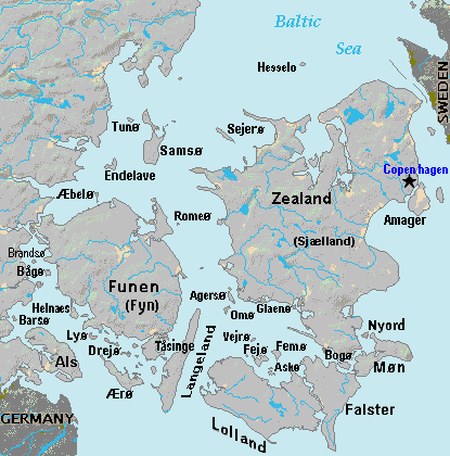
Terrain map of southeast Denmark, showing the major islands labeled, in the region between Germany and Sweden. The terrain data was extracted from the Demis map (on Wikimedia Commons) Image:La2-demis-denmark.png, and the extracted map was color-shifted to grayshade land areas (from the green Demis map). Labels are in font face Arial or Arial Narrow, sizes 8-10.
Licens:
Public domain
Yderligere oplysninger om licens til billedet kan findes her. Sidste ændring: Wed, 24 Jan 2024 14:19:56 GMT