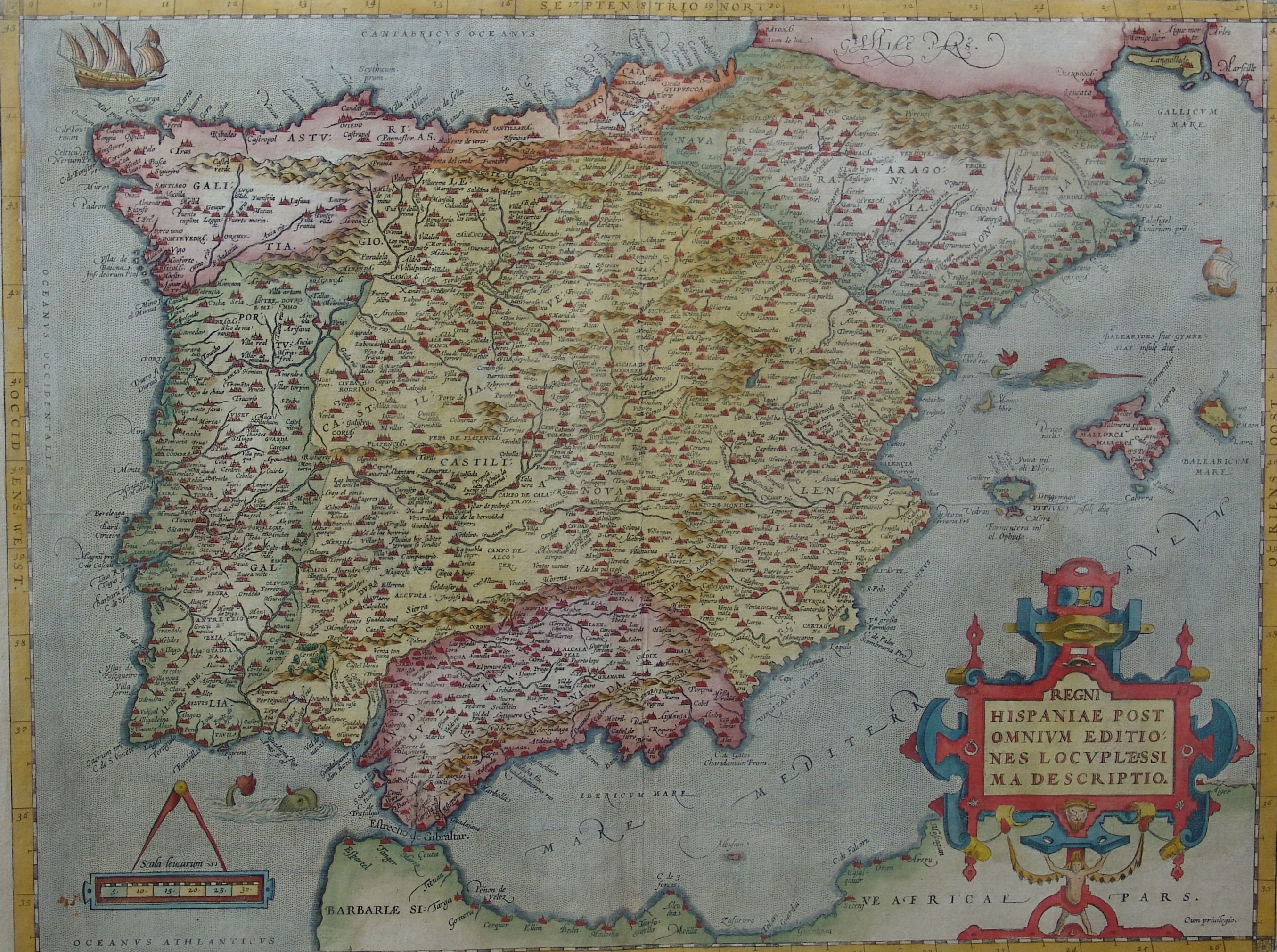
MAPA DE ESPAÑA EN 1570
Forfatter/Opretter:
C3PO
Kredit:
Shortlink:
kilde:
størrelse:
2710 x 2020 Pixel (1270817 Bytes)
beskrivelse:
Mapa de España en 1570 realizado por Ortelius
Licens:
Public domain
Kommentar på licensen:
"Courtesy of the Instituto Geográfico Nacional (Madrid, España)."
Yderligere oplysninger om licens til billedet kan findes her. Sidste ændring: Fri, 26 Apr 2024 09:18:59 GMT