Lake Chilwa NASA
Forfatter/Opretter:
NASA
Kredit:
Nasa data, visualized by NASA’s World Wind globe software
Shortlink:
kilde:
størrelse:
1024 x 702 Pixel (244223 Bytes)
beskrivelse:
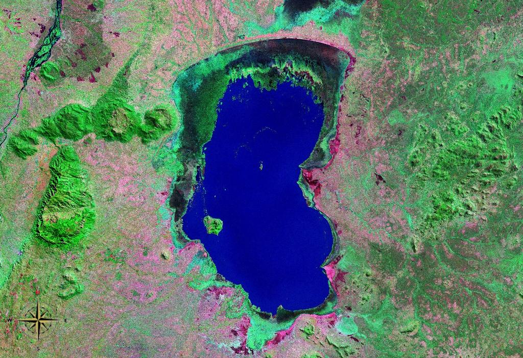
View from space on a section of Malawi's Southern Region. In view are the Liwonde Hills, Zomba Plateau and Lake Chilwa, besides the southern section of Liwonde National Park with the Shire River floodplain contained in it.
Licens:
Public domain
Yderligere oplysninger om licens til billedet kan findes her. Sidste ændring: Tue, 15 Apr 2025 20:27:43 GMT