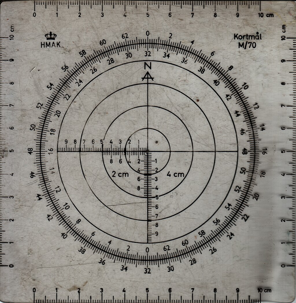
Kortmaal M70
Forfatter/Opretter:
Attribution:
Billedet er tagget "Attribution Required", men der blev ikke angivet nogen tilskrivningsoplysninger. Attributionsparameteren blev sandsynligvis udeladt ved brug af MediaWiki-skabelonen til CC-BY-licenserne. Forfattere og ophavsmænd finder et eksempel på korrekt brug af eksempel her. her.
Kredit:
Eget arbejde
Shortlink:
kilde:
størrelse:
3088 x 3158 Pixel (12025784 Bytes)
beskrivelse:
Map measure M/70 from Denmark (HMAK), Kortmål M/70. The black string fastened at the hole in the center is missing.
Each of the four sides has a 10 cm ruler with 1 mm markings.
The two perpendicular linear scales marked '2 cm' has numbered markings corresponding to hektometer on a '2 cm'-map (i.e. a map where 2 cm corresponds to 1 km, a scale of 1:50000).
Similarly, the other two perpendicular linear scales marked '4 cm' has numbered markings corresponding to hektometer on a '4 cm'-map (i.e. a map where 4 cm corresponds to 1 km, a scale of 1:25000).
The circular scale is divided into 6400 angular mils.
With the string in place the direction from one point on a map (of any scale) to another can be measured by centering the map measure on top of the first point with the arrow marked N pointing towards North and pulling the string over the second point, after which the direction in mils can be read off the outer circular scale. The inverse direction can be read off the inner scale.
Licens:
Licensbetingelser:
Creative Commons Attribution-Share Alike 4.0
Yderligere oplysninger om licens til billedet kan findes her. Sidste ændring: Fri, 21 Oct 2022 00:40:21 GMT
