Germany occupation zones with border
Forfatter/Opretter:
US Army
Kredit:
Shortlink:
kilde:
størrelse:
1460 x 1212 Pixel (882030 Bytes)
beskrivelse:
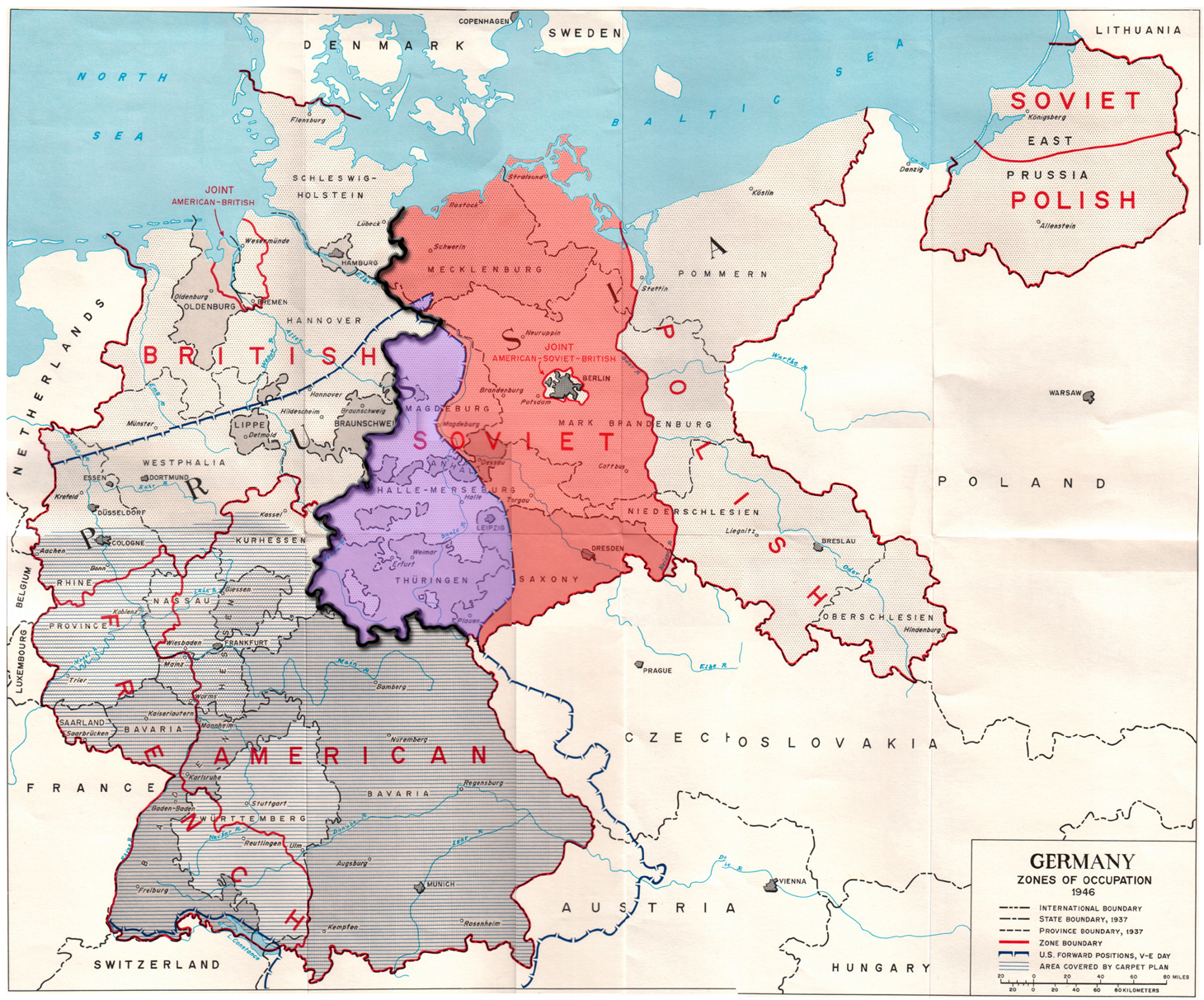
Map of the occupation zones of Germany in 1945, modified to show the inner German border and the zone from which Allied forces withdrew in July 1945. From Earl F. Ziemke, The U.S. Army in the Occupation of Germany, 1975. Library of Congress, Catalog Card Number 75-619027.
Licens:
Public domain
Yderligere oplysninger om licens til billedet kan findes her. Sidste ændring: Wed, 21 Feb 2024 06:36:51 GMT