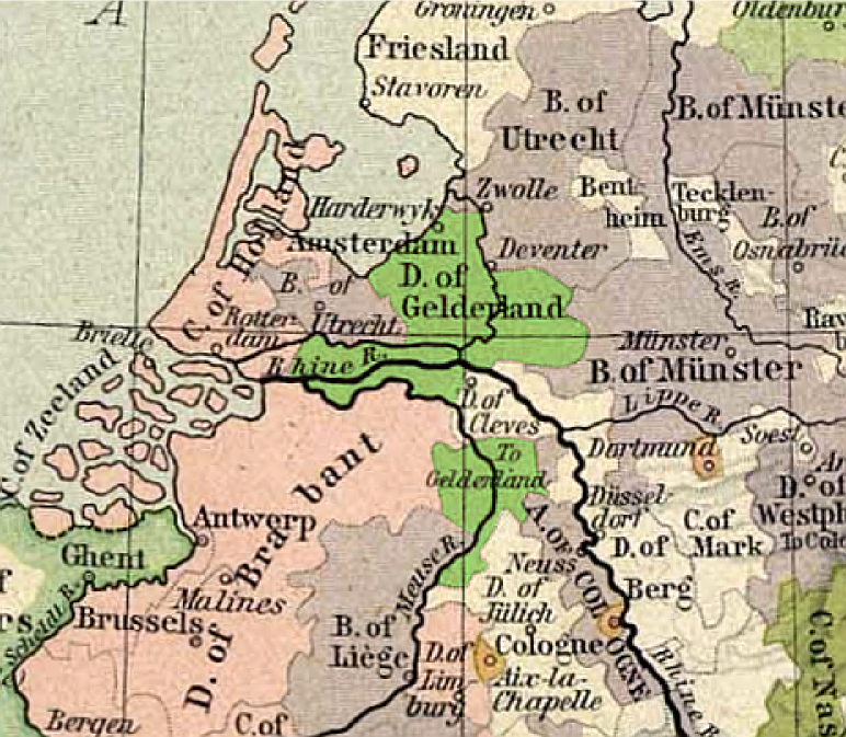
Gelre1477
Forfatter/Opretter:
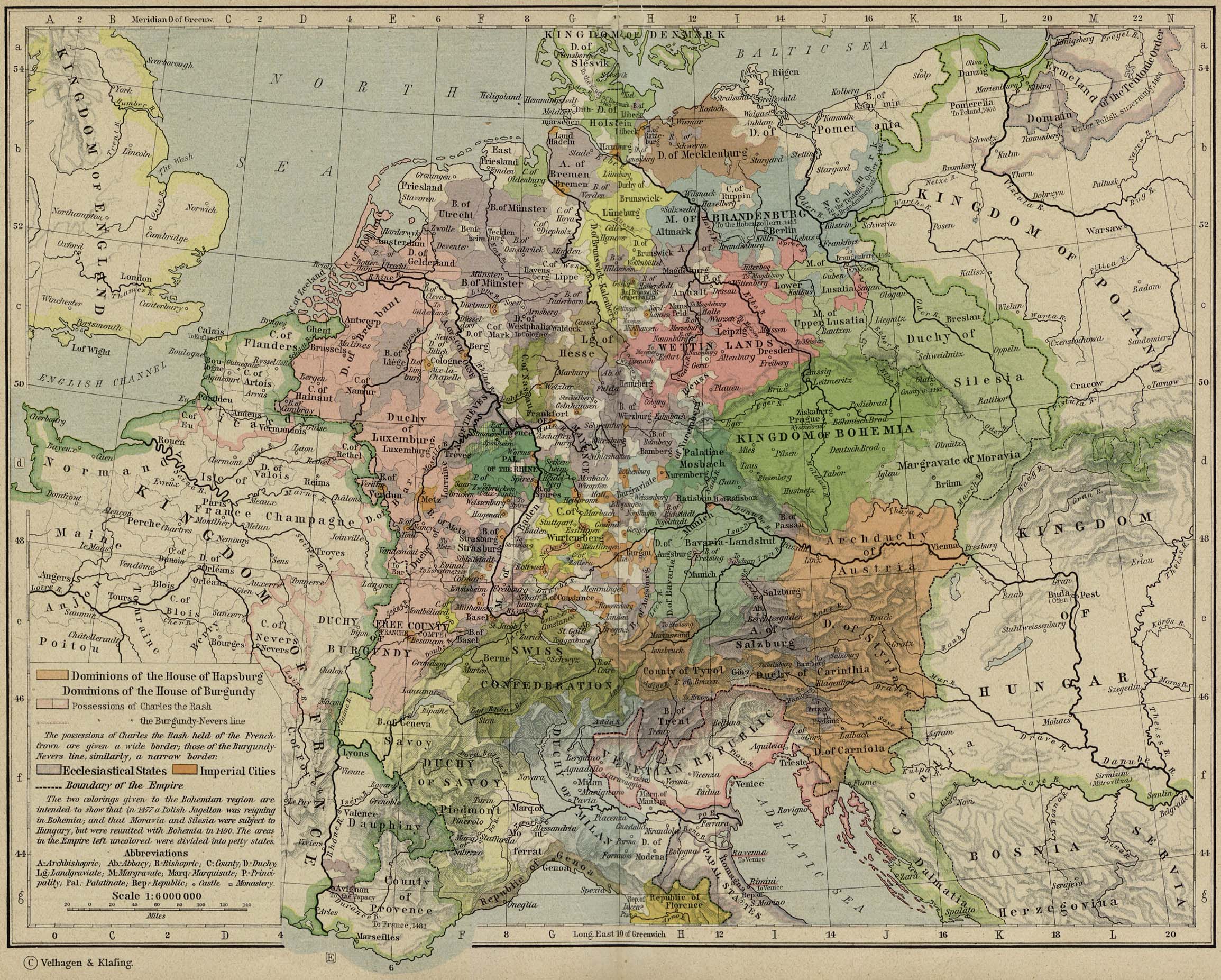
original map: de:Velhagen & Klasing
Kredit:
from Historical Atlas by William R. Shepherd, 1926.
Shortlink:
kilde:
størrelse:
772 x 673 Pixel (959415 Bytes)
beskrivelse:
Map of duchy of Guelders, in 1477
Licens:
Public domain
Yderligere oplysninger om licens til billedet kan findes her. Sidste ændring: Sun, 05 May 2024 00:03:10 GMT