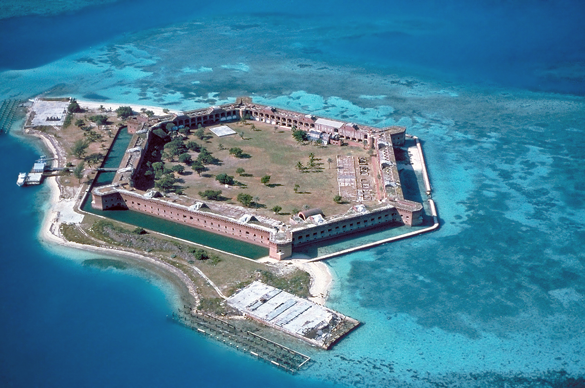
Fort-Jefferson Dry-Tortugas
Forfatter/Opretter:
U.S. National Park Service
Kredit:
Shortlink:
kilde:
størrelse:
1200 x 796 Pixel (1083521 Bytes)
beskrivelse:
Fort Jefferson at the Dry Tortugas. The clear waters in shallow areas surrounding the fort, seen easily in the photo, are popular for snorkeling and scuba diving. Visible on the right side of the image is a breach of the sea wall caused by the direct strike of Hurricane Charley in August 2004.
| Kameraposition | | Dette og andre billeder på deres position på: OpenStreetMap |
|---|
Licens:
Public domain
Yderligere oplysninger om licens til billedet kan findes her. Sidste ændring: Tue, 25 Jul 2023 03:52:42 GMT