European Russia laea relief location map
Forfatter/Opretter:
Attribution:
Billedet er tagget "Attribution Required", men der blev ikke angivet nogen tilskrivningsoplysninger. Attributionsparameteren blev sandsynligvis udeladt ved brug af MediaWiki-skabelonen til CC-BY-licenserne. Forfattere og ophavsmænd finder et eksempel på korrekt brug af eksempel her. her.
Kredit:
Eget arbejde
Shortlink:
kilde:
størrelse:
1181 x 1558 Pixel (1715842 Bytes)
beskrivelse:
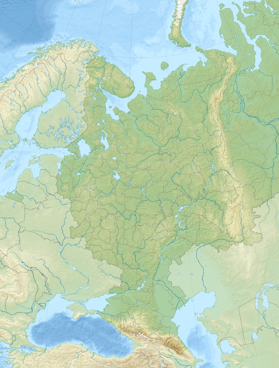
Relief location map of European_Russia.
- Projection: Lambert azimuthal equal-area projection.
- Area of interest:
- N: 75.0° N
- S: 40.0° N
- W: 25.0° E
- E: 60.0° E
- Projection center:
- NS: 57.5° N
- WE: 42.5° E
- GMT projection: -JA42.5/57.5/20c
- GMT region: -R25.450860698632475/38.37411418933942/86.79037939442836/70.79910933370674r
- GMT region for grdcut: -R-2.0/38.0/87.0/76.0r
- Relief: SRTM30plus.
- Made with Natural Earth. Free vector and raster map data @ naturalearthdata.com.
Licens:
Licensbetingelser:
Creative Commons Attribution-Share Alike 3.0
Yderligere oplysninger om licens til billedet kan findes her. Sidste ændring: Tue, 09 Apr 2024 16:25:05 GMT