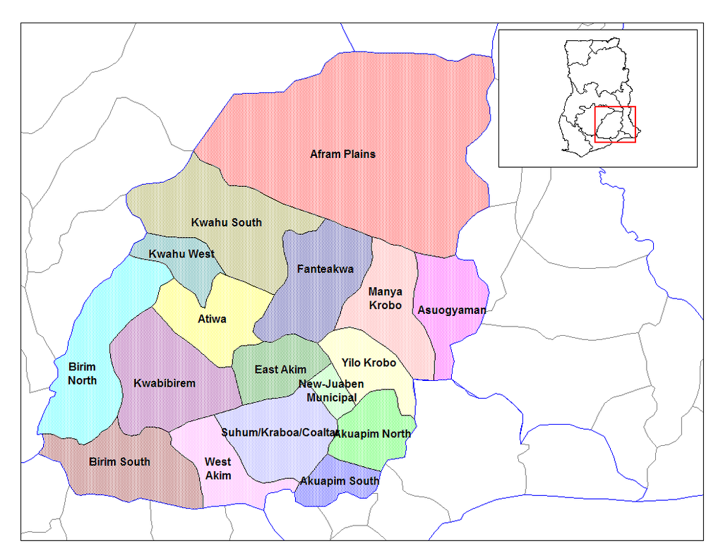
Eastern Ghana districts
Forfatter/Opretter:
Created by Rarelibra
Kredit:
Districts of Ghana, Created using MapInfo Professional v7.5 and various mapping resources.
Shortlink:
kilde:
størrelse:
1056 x 816 Pixel (45742 Bytes)
beskrivelse:
Map of the districts of the Eastern region of Ghana until 2008 when Manya Krobo was split up.
Licens:
Public domain
Kommentar på licensen:
for public domain use.
Yderligere oplysninger om licens til billedet kan findes her. Sidste ændring: Sun, 21 Apr 2024 06:25:22 GMT
