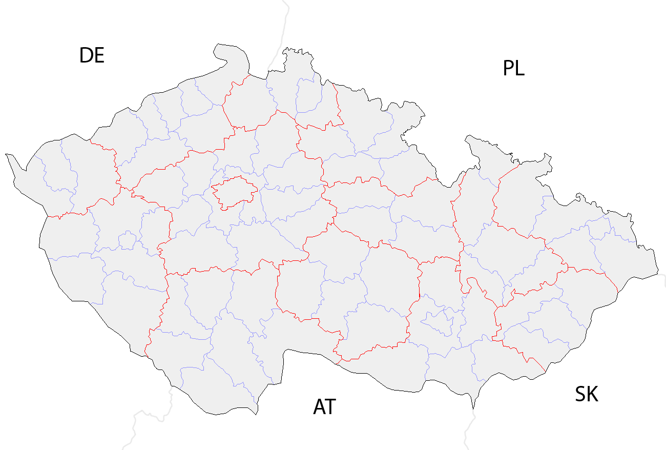
Czech Republic districts
Forfatter/Opretter:
No machine-readable author provided. Rarelibra assumed (based on copyright claims).
Kredit:
No machine-readable source provided. Own work assumed (based on copyright claims).
Shortlink:
kilde:
størrelse:
1300 x 878 Pixel (43462 Bytes)
beskrivelse:
Map of the districts of the Czech Republic showing former district borders before December 31, 2006. Created by Rarelibra 18:42, 29 December 2006 (UTC) for public domain use, using MapInfo Professional v8.5 and various mapping resources.
Licens:
Public domain
Yderligere oplysninger om licens til billedet kan findes her. Sidste ændring: Sat, 13 Jan 2024 09:26:49 GMT