Atlantic-trench
Forfatter/Opretter:
USGS
Kredit:
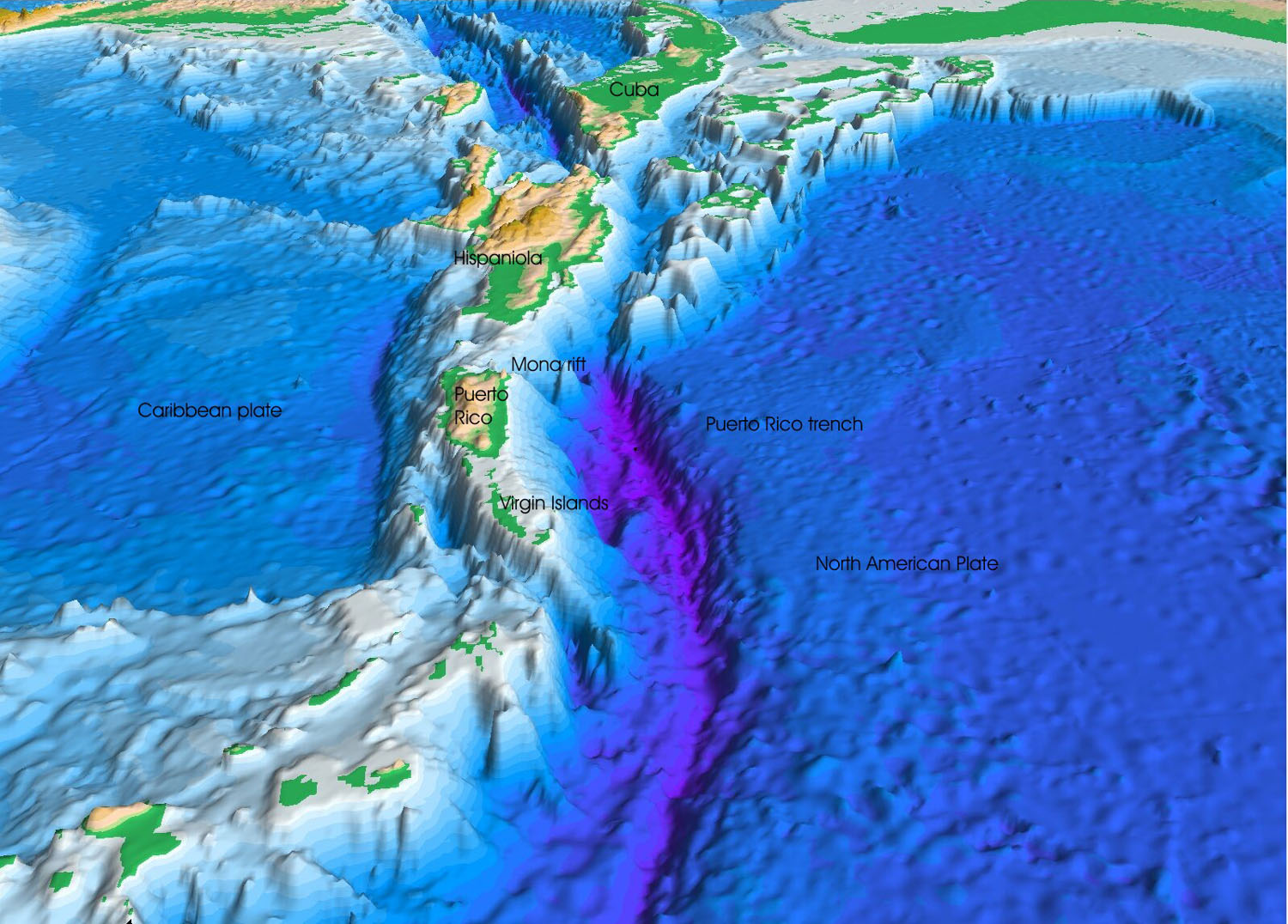
Project PROBE Leg II - Final Report and Archive of Swath Bathymetric Sonar, CTD/XBT and GPS Navigation Data Collected During USGS Cruise 03008 (NOAA Cruise RB0303) Puerto Rico Trench 18 February - 7 March, 2003. USGS Open-File Report 2004-1400. 2005.
Originally from en.wikipedia; description page is/was here.
Shortlink:
kilde:
størrelse:
1500 x 1076 Pixel (338483 Bytes)
beskrivelse:
Perspective view of the sea floor of the Atlantic Ocean and the Caribbean Sea, looking west. The Lesser Antilles are on the lower left side of the view and Florida is on the upper right. The purple sea floor at the center of the view is the Puerto Rico trench, the deepest part of the Atlantic Ocean and the Caribbean Sea.
Licens:
Public domain
Kommentar på licensen:
This image is in the public domain in the United States because it only contains materials that originally came from the United States Geological Survey, an agency of the United States Department of the Interior. For more information, see the official USGS copyright policy.
Yderligere oplysninger om licens til billedet kan findes her. Sidste ændring: Tue, 28 Mar 2023 08:40:19 GMT