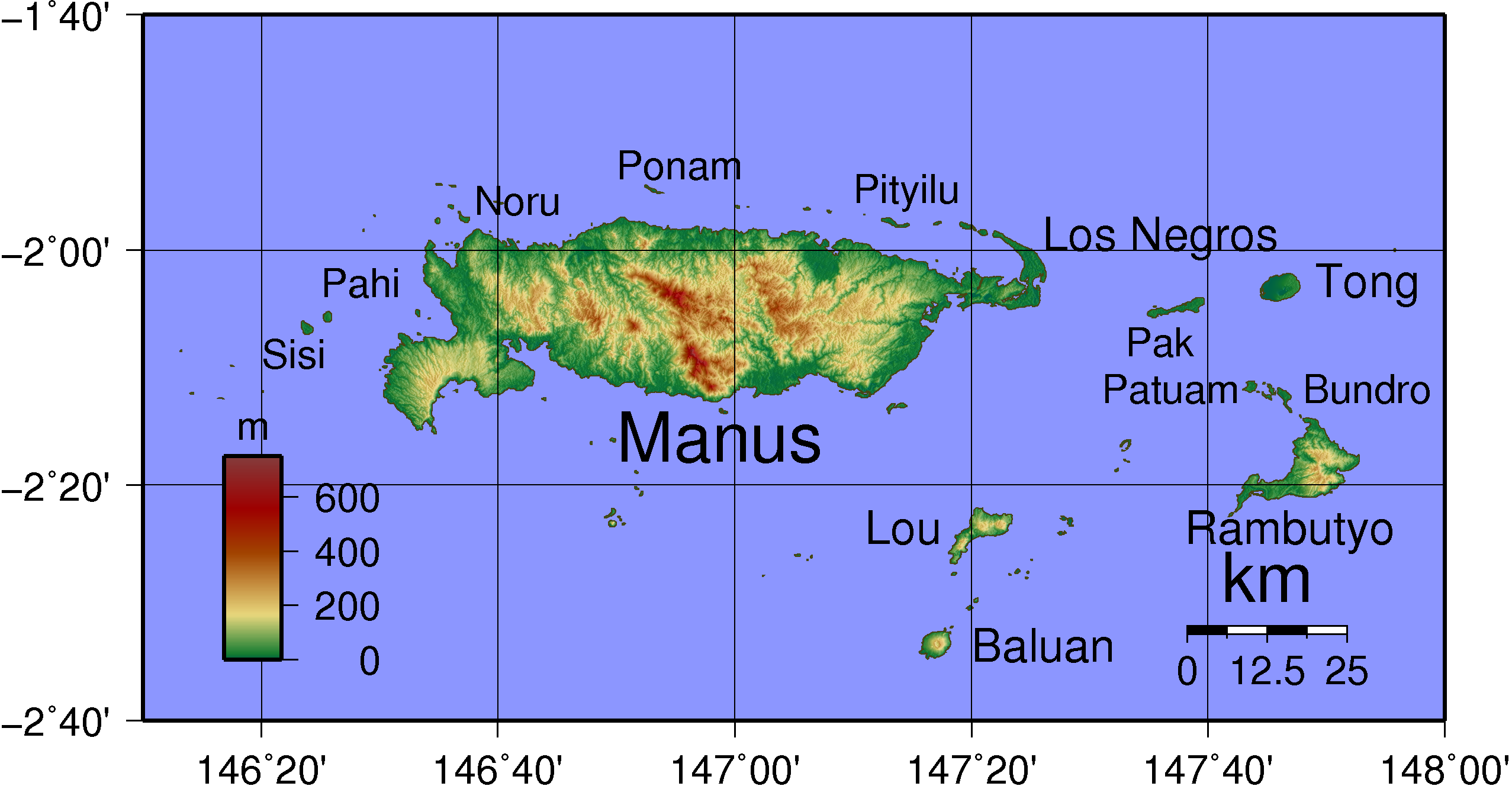
Admiralty Islands Topography with labels
Forfatter/Opretter:
Kredit:
Eget arbejde
Shortlink:
kilde:
størrelse:
2554 x 1328 Pixel (577387 Bytes)
beskrivelse:
Topographical map of Admiralty Island in Papua New Guinea. Largest islands have been named. Created with GMT from publicly released SRTM data.
Licens:
Public domain
Yderligere oplysninger om licens til billedet kan findes her. Sidste ændring: Thu, 18 Apr 2024 14:53:29 GMT