AYool topography 15min
Forfatter/Opretter:
Attribution:
Billedet er tagget "Attribution Required", men der blev ikke angivet nogen tilskrivningsoplysninger. Attributionsparameteren blev sandsynligvis udeladt ved brug af MediaWiki-skabelonen til CC-BY-licenserne. Forfattere og ophavsmænd finder et eksempel på korrekt brug af eksempel her. her.
Kredit:
English Wikipedia
Shortlink:
kilde:
størrelse:
1617 x 1133 Pixel (1207885 Bytes)
beskrivelse:
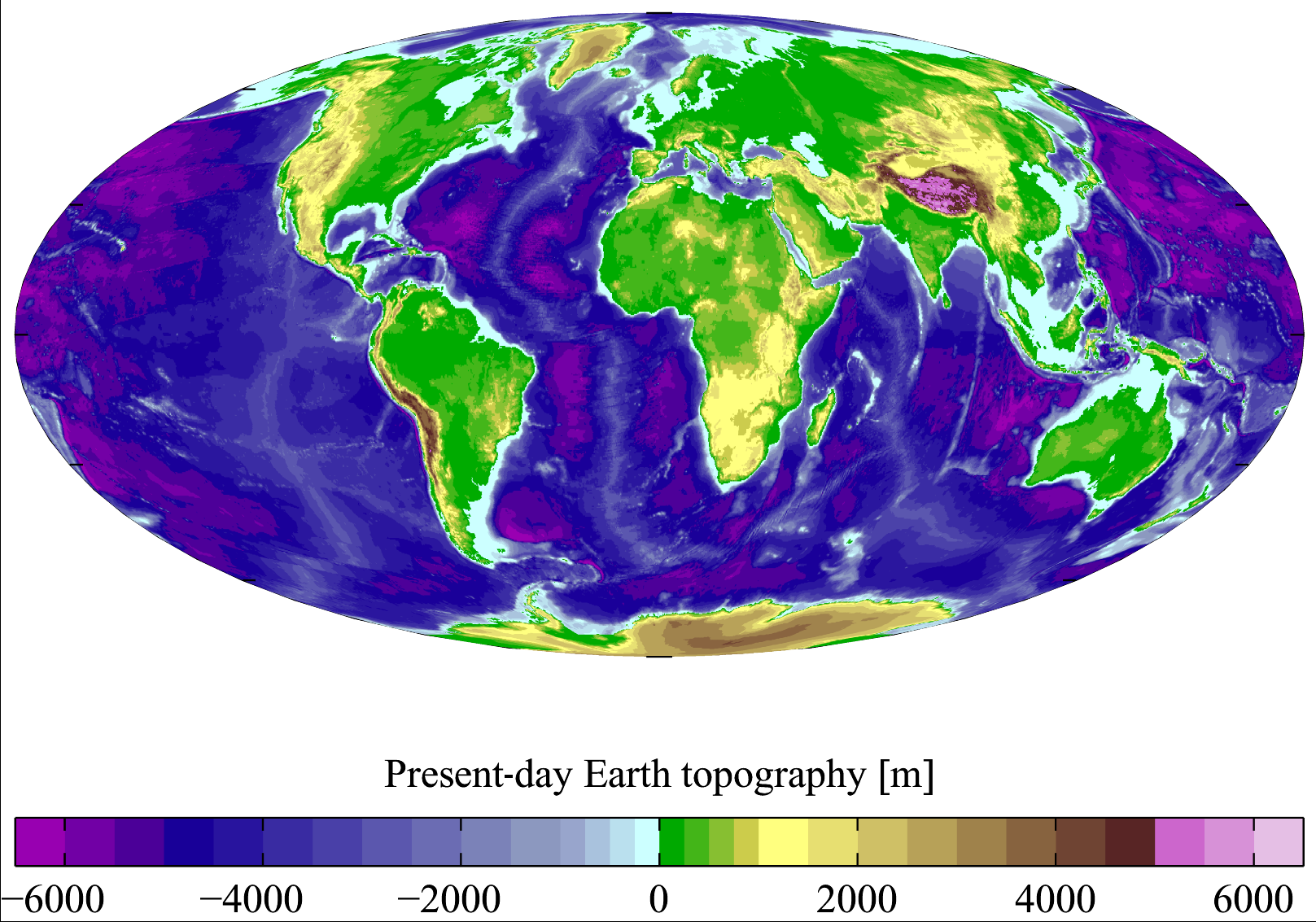
Present-day Earth topography and bathymetry at 15-minute horizontal resolution. Derived from the National Geophysical Data Center's TerrainBase Digital Terrain Model (v1.0). The original dataset is at 5-minute resolution, and this has been averaged down to 15-minute resolution. It is plotted here using a Mollweide projection (using MATLAB and the M_Map package).
Licens:
Licensbetingelser:
Creative Commons Attribution 2.5
Yderligere oplysninger om licens til billedet kan findes her. Sidste ændring: Wed, 20 Mar 2024 17:31:54 GMT