1860-russian-america
Forfatter/Opretter:
Original uploader was Flux.books at en.wikipedia
Kredit:
Originally from en.wikipedia; description page is/was here.
Shortlink:
kilde:
størrelse:
732 x 831 Pixel (202546 Bytes)
beskrivelse:
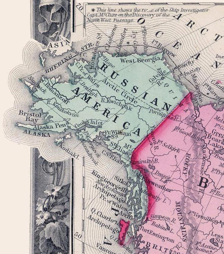
In this 1860 map, Russian America (Alaska) was to the west of British America (Canada).
Excerpt from the "Map of North America. Showing its Political Divisions, and Recent Discoveries in the Polar Regions" in Mitchell's New General Atlas, Containing Maps Of The Various Countries Of The World, Plans Of Cities, Etc. Published By S. Augustus Mitchell, Jr. No. 31 South Sixth Street. 1860.
Licens:
Public domain
Yderligere oplysninger om licens til billedet kan findes her. Sidste ændring: Sun, 31 Mar 2024 09:26:35 GMT
