US states by date of statehood
Forfatter/Opretter:
Attribution:
Billedet er tagget "Attribution Required", men der blev ikke angivet nogen tilskrivningsoplysninger. Attributionsparameteren blev sandsynligvis udeladt ved brug af MediaWiki-skabelonen til CC-BY-licenserne. Forfattere og ophavsmænd finder et eksempel på korrekt brug af eksempel her. her.
Kredit:
This file was derived from: BlankMap-USA-states.PNG
Shortlink:
kilde:
størrelse:
795 x 595 Pixel (110852 Bytes)
beskrivelse:
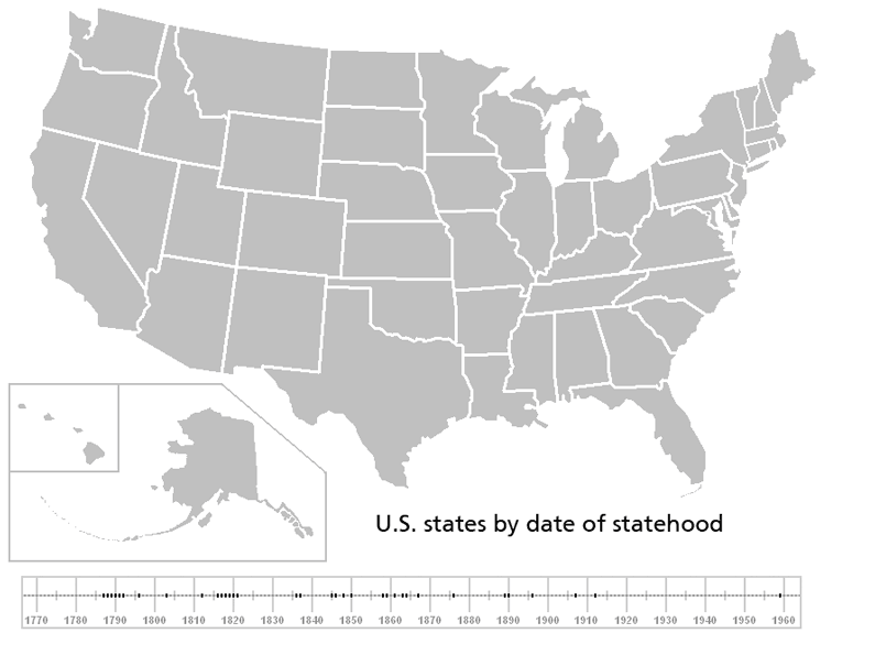
Animation showing US states by date of statehood, see List of U.S. states by date of statehood for more details. The first thirteen states are shown in the order by the date each ratified the present United States Constitution, the rest show the year of admission to the union in the sliding scale at the bottom.
Note that this shows present day state boundaries, which in some cases do not correspond with the historical boundaries of the state, such as West Virginia which was a part of Virginia until 1861.
Note that this shows present day state boundaries, which in some cases do not correspond with the historical boundaries of the state, such as West Virginia which was a part of Virginia until 1861.
Licens:
Licensbetingelser:
Creative Commons Attribution-Share Alike 3.0
Yderligere oplysninger om licens til billedet kan findes her. Sidste ændring: Thu, 11 Apr 2024 18:18:52 GMT