RomaniaBorderHistoryAnnimation 1859-2010
Forfatter/Opretter:
Kredit:
self-made, individual frames were based on maps from here: Atlas of Romania. (I could upload standalone maps for each period of time, if needed. Contact me for that.).
Shortlink:
kilde:
størrelse:
1000 x 861 Pixel (165720 Bytes)
beskrivelse:
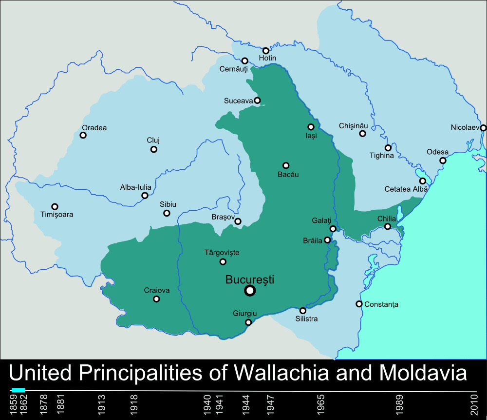
Timeline of the borders of Romania between 1859 and 2010.
Licens:
Public domain
Yderligere oplysninger om licens til billedet kan findes her. Sidste ændring: Wed, 28 Feb 2024 13:05:49 GMT