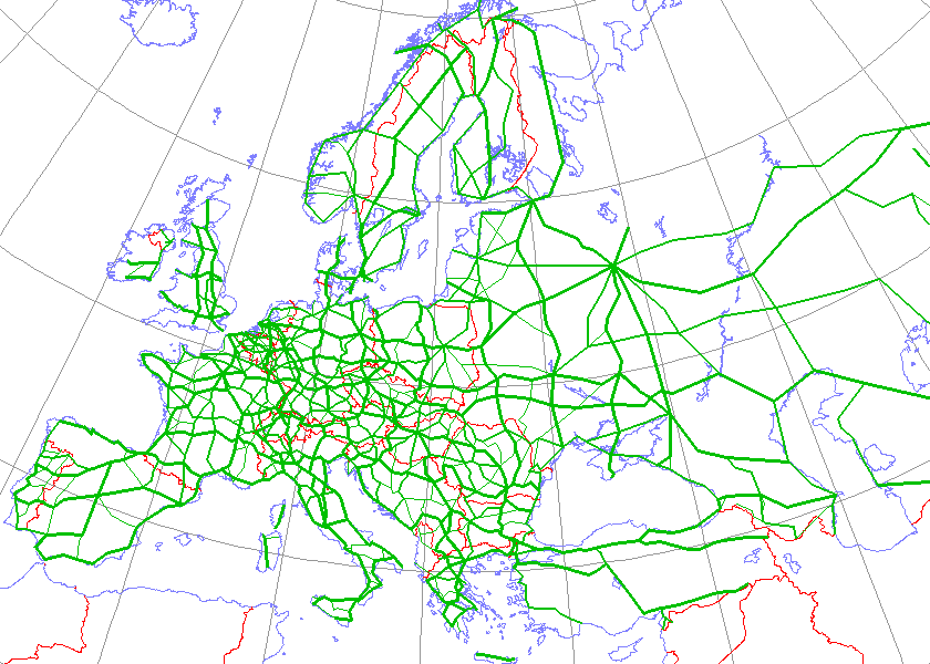
International E Road Network green
Forfatter/Opretter:
Kjhskj75
Shortlink:
kilde:
størrelse:
840 x 600 Pixel (38903 Bytes)
beskrivelse:
Map generated using coastline/boundary data from World Data Bank, and locations from http://www.world-gazetteer.com/. Straight lines connect control cities, no attempt to follow the real road. Roads color has been changed to green.
Licens:
Public domain
Yderligere oplysninger om licens til billedet kan findes her. Sidste ændring: Wed, 20 Mar 2024 07:49:34 GMT