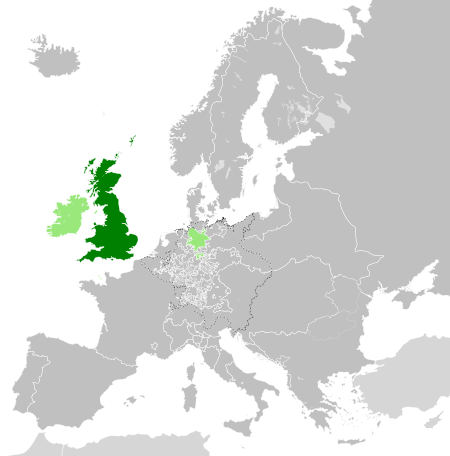
Great Britain 1789
Forfatter/Opretter:
- Blank_map_of_Europe.svg: maix¿?
- Europe_1789.svg – derivative work: Alphathon
- derivative work: Alphathon
- Europe_1789.svg – derivative work: Alphathon
Attribution:
Billedet er tagget "Attribution Required", men der blev ikke angivet nogen tilskrivningsoplysninger. Attributionsparameteren blev sandsynligvis udeladt ved brug af MediaWiki-skabelonen til CC-BY-licenserne. Forfattere og ophavsmænd finder et eksempel på korrekt brug af eksempel her. her.
Kredit:
Shortlink:
kilde:
størrelse:
450 x 456 Pixel (866688 Bytes)
beskrivelse:
A map of the Kingdom of Great Britain circa 1789. Other British-held territories (Ireland, Mann, Channel Islands, Brunswick-Lüneburg) are also shown in pale green.
Licens:
Licensbetingelser:
Creative Commons Attribution-Share Alike 3.0
Yderligere oplysninger om licens til billedet kan findes her. Sidste ændring: Sat, 14 Oct 2023 15:09:57 GMT

